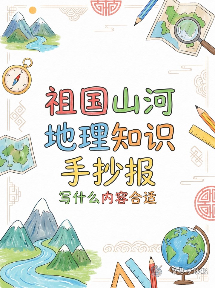
Start with one clear theme
The best way to make this poster stand out is not to fill it with too many facts, but to choose one clear theme first, such as “Discover China through its landform map”, “Why China is high in the west and low in the east”, or “Mountains and rivers on the map of China”. A clear theme helps the whole poster feel connected.
For primary school students, it is helpful to shape the poster around one question: why does China have such rich and varied landscapes? This makes the page feel like a real poster project instead of a list of copied facts.
Good sections to place on the poster
The three terrain steps
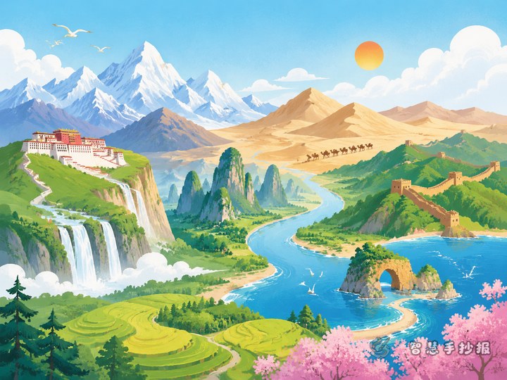
Write briefly that China’s land is higher in the west and lower in the east, forming three major terrain steps. The first step is represented by the Qinghai-Tibet Plateau, the second includes plateaus and basins, and the third includes plains and hills.
Mountain ranges as the frame
You can choose several famous ranges such as the Himalayas, Kunlun Mountains, Tianshan Mountains, Qinling Mountains, and Taihang Mountains. A simple way to explain them is to say that mountains form the framework of China’s landform and influence rivers and regions.
Rivers as lifelines
Focus on the Yangtze River and the Yellow River, and you may also mention the Pearl River or Heilongjiang River. A good short sentence is: Mountains shape the land, and rivers nourish the country.
Typical landforms at a glance
- Plateaus: Qinghai-Tibet Plateau, Loess Plateau
- Basins: Sichuan Basin, Tarim Basin
- Plains: Northeast Plain, North China Plain, Middle-Lower Yangtze Plain
- Hills: Southeast Hills
Just one or two simple lines for each type are enough for a school poster.
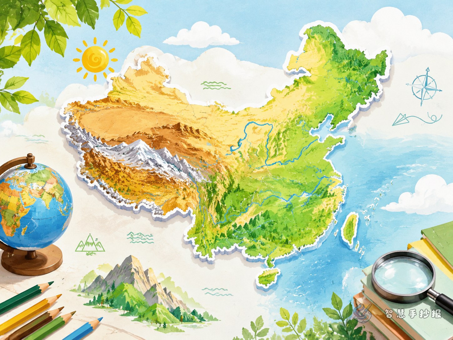
Make the layout feel like a real geography page
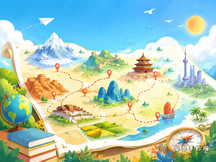
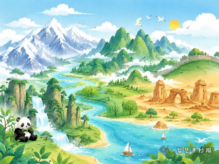
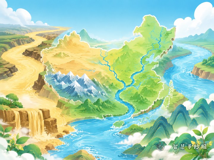
This topic works especially well with a map-centered layout. Draw the outline of China in the middle, then use different colors to mark plateaus, plains, basins, and rivers. Place small knowledge sections around the map so readers look at the map first and then the facts.
- Center: outline map or simple landform map of China
- Top left: three terrain steps
- Top right: major mountain ranges
- Bottom left: major rivers
- Bottom right: typical landforms or short praise for China’s landscapes
This structure is neat and stable, and it is also easy to improve later in the WeChat mini program with titles, borders, and color adjustments.
Ready-to-use wording ideas
Opening line: China has rich and varied landforms, with plateaus, mountains, basins, plains, and hills forming the beauty of the motherland.
Middle line: From western highlands to eastern plains, and from towering mountains to flowing rivers, China shows a vivid and diverse geographic character.
Closing line: Learning about China’s landscapes is not only about reading a map, but also about feeling the vast beauty of the country.
Short slogan: Landscapes have shape, geography has charm; understand the landform map, understand China better.
Small details that improve the final result
- Do not include too many place names at once. Keep only the best-known and easiest facts.
- Use layered colors on the map so the page does not look messy.
- Make the title larger and keep the body text short for easier reading.
- Leave enough white space between sections to keep the poster neat.
- Decorations like clouds, mountain lines, and river curves can help, but they should not overpower the content.
If you already have the topic but are unsure about the final arrangement, a practical next step is to list your sections first and then continue editing in the WeChat mini program to complete the poster more easily.