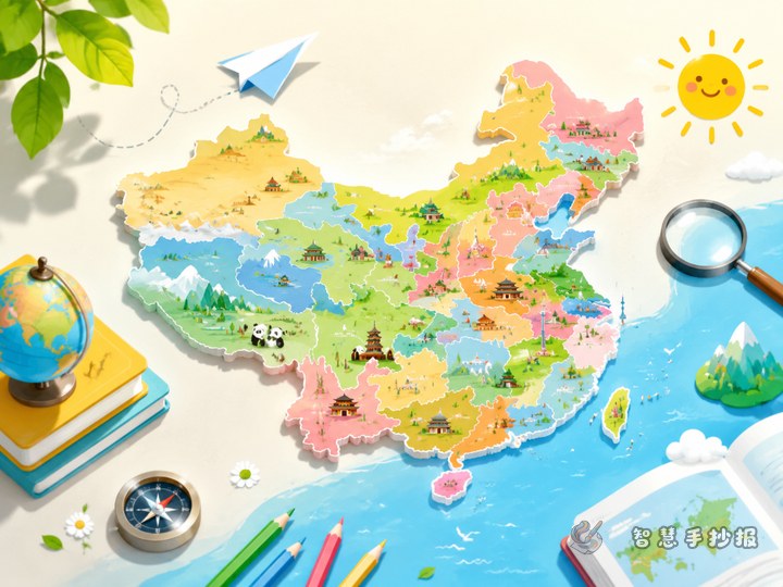
Choose a smarter angle: neighboring provinces on the map
If you want a China geography poster to feel more interesting, focus on which provinces are next to each other instead of listing every province in the same way. This topic helps students read the map, understand location, and notice patterns more easily.
You can frame the poster around questions like “Who is whose neighbor?” or “Learning Chinese provinces through map connections.” It turns map study into a clearer and more lively handwritten newspaper project.
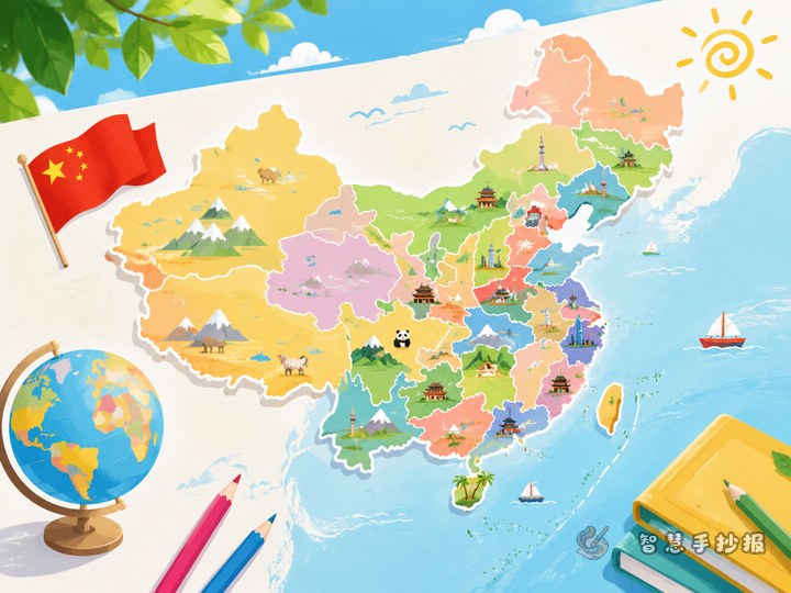
A layout that works well for students
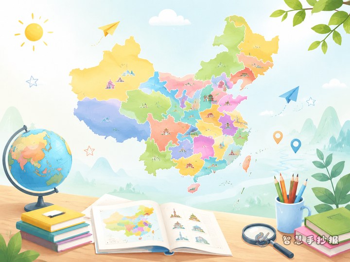
A practical design is a large China map in the center with small sections around it. This makes the page easy to read and keeps the map as the visual focus.
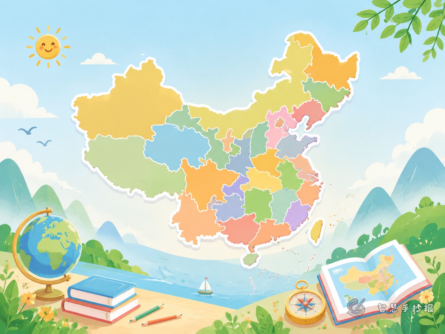
- Center: A simple outline map of China with several key provinces highlighted.
- Top left: A short note explaining what neighboring provinces mean.
- Top right: Small discoveries, such as some provinces having more neighbors than others.
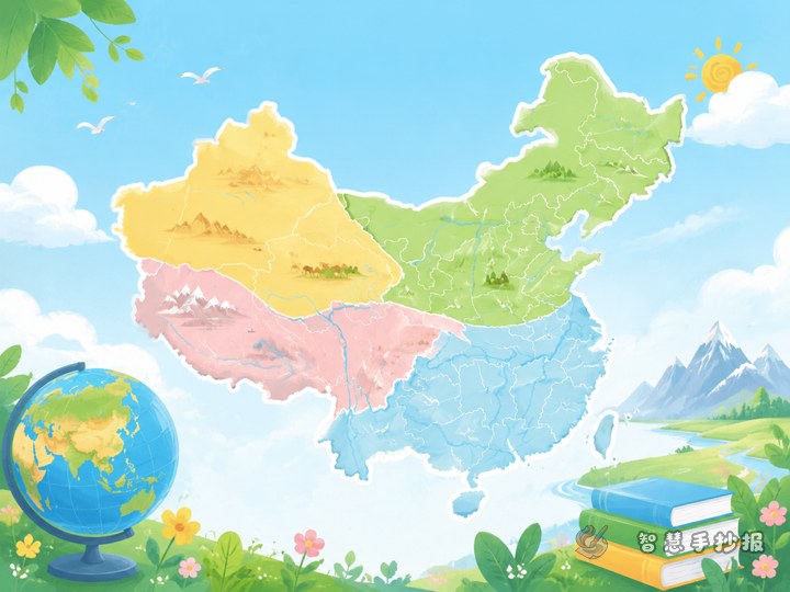
- Bottom left: Regional grouping like North China, East China, South China, Southwest, Northwest, and Northeast.
- Bottom right: A mini quiz section for classmates.
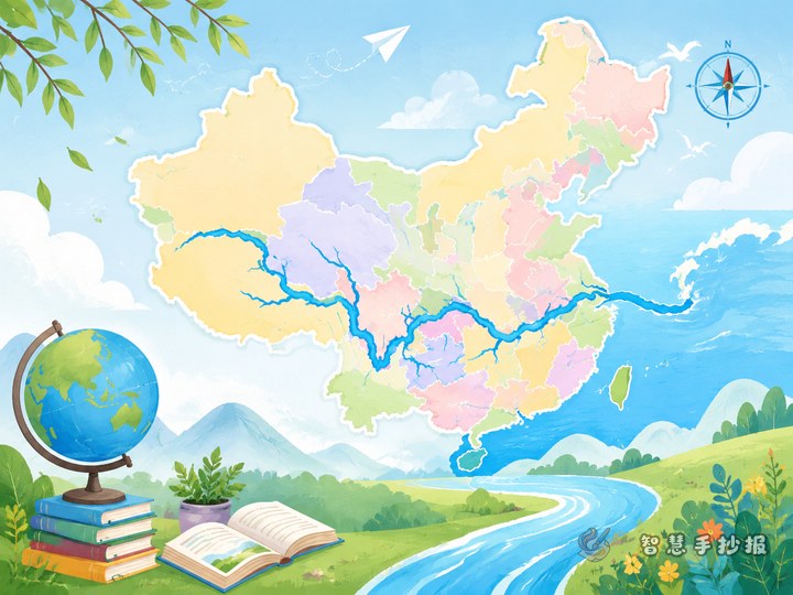
You can decorate the border with a compass, waves, mountains, or map pins to strengthen the geography theme.
Text materials students can copy into the poster
What are neighboring provinces?
Neighboring provinces are provincial-level regions that share a boundary on the map. Learning these relationships helps us understand the shape of China, remember locations, and practice direction words such as north, south, east, and west.
Patterns we can find on the map
- Many coastal provinces are in the east and south of China.
- Western provinces often cover larger areas on the map.
- Central regions connect different parts of the country.
- The three northeastern provinces are grouped closely together and are easier to identify.
Examples of province neighbors
- Hebei: A good example because it borders many surrounding regions.
- Sichuan: Located in Southwest China and linked with several neighboring provincial areas.
- Guangdong: A southern coastal province that can be combined with map and regional knowledge.
- Xinjiang: Located in the northwest and easy to recognize on the map.
You do not need to fill the whole poster with every province. Choosing three to five representative examples usually makes the work cleaner and stronger.
Three small sections to make the poster more lively
- Observation corner: Ask which province seems to have the most neighbors.
- Direction practice: Write simple sentences such as “Shanxi is west of Hebei.”
- Map quiz: Add two or three short questions for classroom interaction.
These sections can stay short, but they make the handwritten newspaper richer and more engaging.
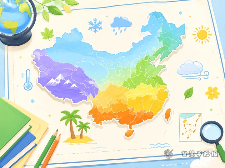
Color and drawing tips
Blue, green, and orange work well for a China map poster. Blue gives a clean geographic feeling, green suggests land and nature, and orange can highlight key provinces. Use light colors inside provinces so the text remains easy to read.
- Draw the map outline in dark blue or black.
- Use arrows or thin borders to mark featured provinces.
- Keep titles larger than body text.
- Leave enough blank space so the center map stands out.
If you want to refine the layout or organize cleaner sections, you can continue making your work in the Zhihui Shouchaobao WeChat mini program.
A simple ending line for the poster
The map of China is like a big puzzle. Every province has its own place and its own neighbors. By learning neighboring relationships, we can understand province names, directions, and map patterns in a more vivid way.