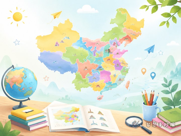
Build the page around one clear idea: learn China through the Yangtze River
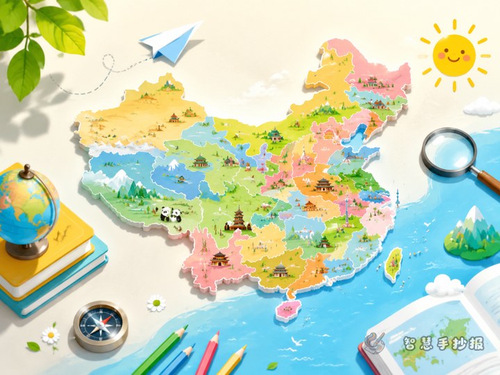
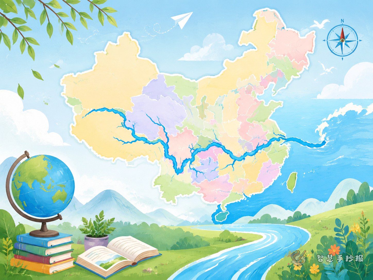
If you want a China map and provinces poster to feel more focused, choose the topic Which provinces does the Yangtze River pass through? This idea connects map work, provincial knowledge, river facts, and city features in one page. Place a simplified map of China in the center and draw the Yangtze with a blue line, then label the related provincial-level regions along the route.
You can organize the places from west to east, such as Qinghai, Tibet, Sichuan, Yunnan, Chongqing, Hubei, Hunan, Jiangxi, Anhui, Jiangsu, and Shanghai. A student poster does not need too many difficult terms. The main goal is to help readers understand where the river goes and what makes those areas special.
Useful sections you can put on the poster
Section 1: Where the Yangtze flows
Write a short introduction about the river’s source, direction, and where it enters the sea. Add arrows on the map. Next to each province, write one simple line, such as “Sichuan: complex landforms and rich hydropower” or “Jiangsu: dense river network and many lakes.”
Section 2: Quick facts about provinces along the river
- Chongqing: famous for its mountain city landscape and many bridges.
- Hubei: often known for its abundant lakes and water resources.
- Jiangxi: can be linked with Poyang Lake to show river-lake relationships.
- Shanghai: located at the river mouth with strong port advantages.
Section 3: What I learned from the map
Students can add a short reflection like “The Yangtze is like a ribbon connecting plateaus, basins, plains, and coastal cities.” This makes the poster more thoughtful and not just copied facts.
How to keep the writing simple but meaningful
Use short sentences and small paragraphs. For each section, two to four sentences are enough. You do not need a long paragraph for every province. Choose three to five key places for fuller notes and keep the others as brief labels. This makes the page easier to read.
A ready-to-use line could be: The Yangtze River is one of China’s most important rivers. It flows through several provincial-level regions and links plateaus, basins, plains, and the coast. Areas along the river have rich landscapes, many cities, and strong cultural features.
You can also add guiding questions such as “Why are there many cities along the Yangtze?” or “How does the river affect daily life?” That will make the poster feel more like an inquiry project.
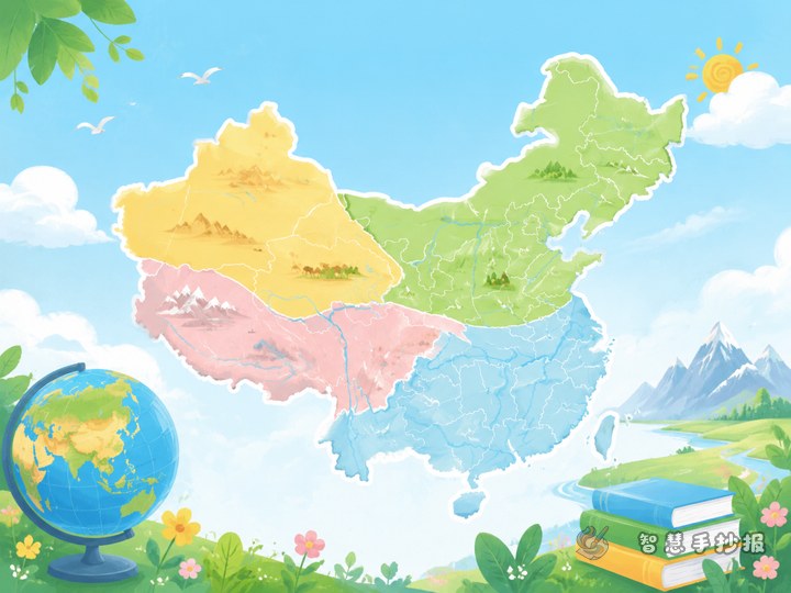
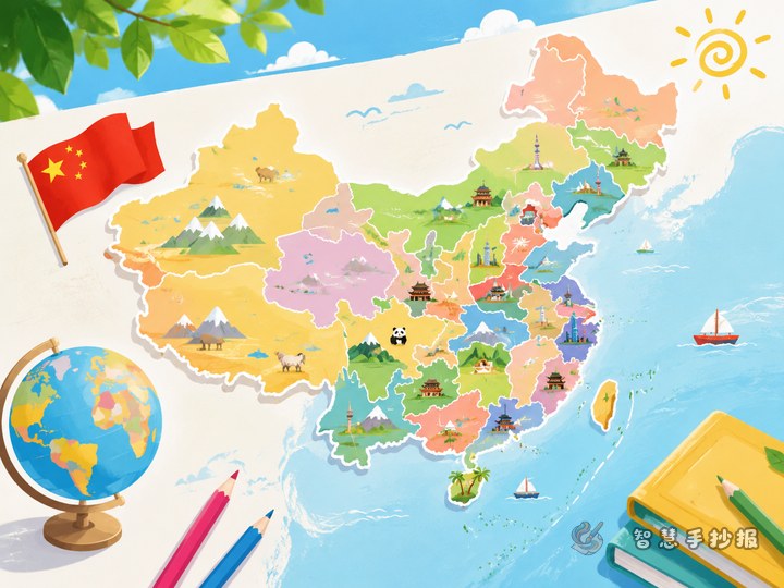
Let the map be the star of the layout
This topic works best with a large central map and supporting sections around it. The middle should hold the China outline and Yangtze route. The top left can be “Yangtze facts,” the top right can be “Province cards,” and the bottom can be “What I learned” or “Important cities along the river.”
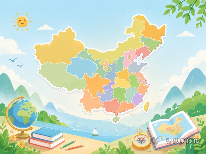
- Blue and green are good main colors for a river geography theme.
- Use dots and short labels for provinces instead of long notes on the map.
- Make the title larger and use smaller subtitles for clear levels.
- Simple decorations like waves, clouds, or boats can fit the theme without making it messy.
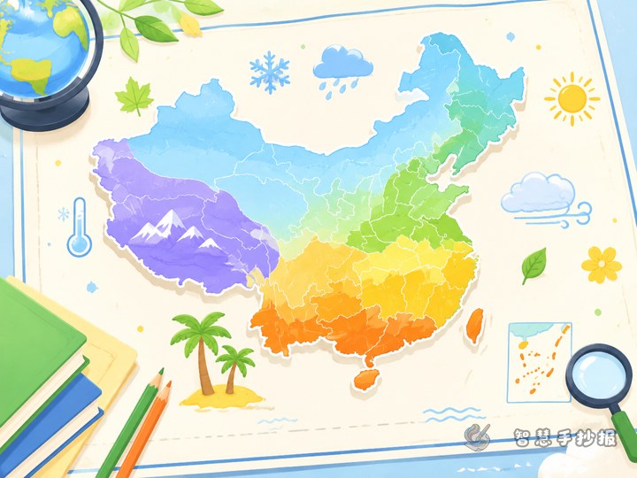
Common mistakes to avoid
Do not color every province in a very dark different color, or the map may look too busy. Do not make the content too difficult for younger students. Keep the order of places close to the river’s direction on the map. Also, do not let text take over too much space, or the map theme will become weak.
If you want to keep improving the layout, title styles, and section design, you can continue making your poster in the Zhihui Shouchaobao WeChat mini program.