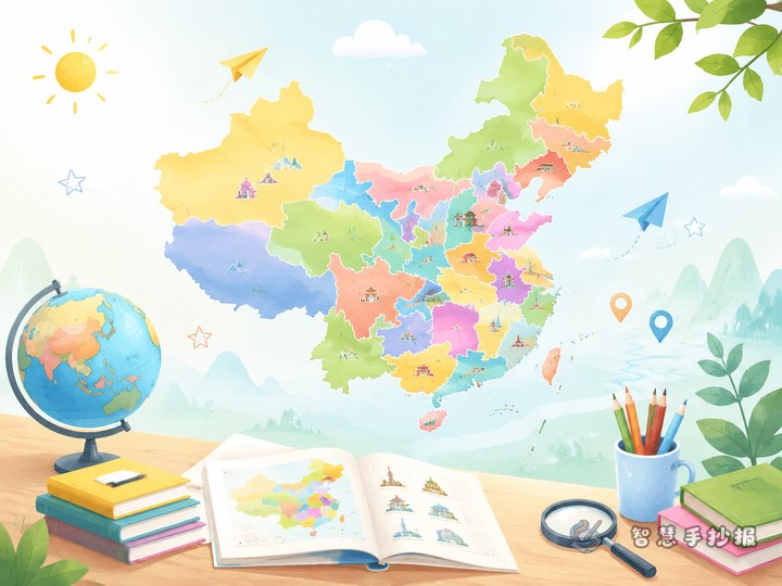
Start with a clear idea: combine the map with a learning journey
If you want a geography poster that looks informative without feeling crowded, try a theme like “Discovering China Through the Map”. This approach is easier for children to understand than simply listing province names. You can organize it from north to south, east to west, or even “starting from my hometown and exploring China.”
Under the main title, add a short introduction: China is a vast country with different provinces, locations, abbreviations, landforms, climates, and local cultures. A map helps us understand the size and diversity of our country more directly.
A simple layout: one main map with sections around it
This topic works best with a center-map layout. Place the outline map of China in the middle and build small sections around it.
- Center: a hand-drawn map of China with general directions marked clearly.
- Top left: “Quick Facts About China’s Map,” including location, neighboring seas, and basic direction reading.
- Top right: “How to Remember Provinces,” such as learning them by regions.
- Bottom left: “Three Places I Want to Visit,” with short notes on famous provinces or cities.
- Bottom right: “Map Reading Tips,” like finding direction first, then position, then province names.
If there is extra space, you can decorate the edges with a compass, mountains, rivers, or cloud shapes to make the page more lively.
Useful text materials to copy into the poster
Section 1: Knowing the map of China
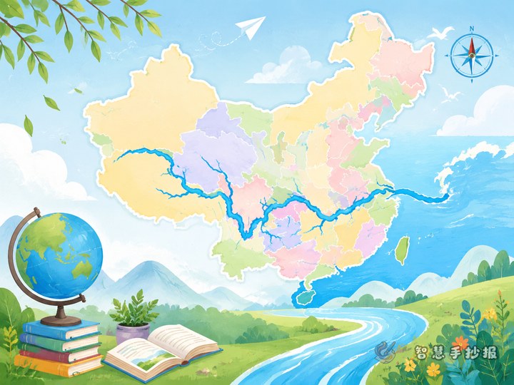
China is located in eastern Asia and on the western side of the Pacific Ocean. It has a large land area and many different landforms. A map helps us learn about borders, seas, mountains, rivers, and the general positions of provinces. When reading a map, we usually follow the rule: north at the top, south at the bottom, west on the left, and east on the right.
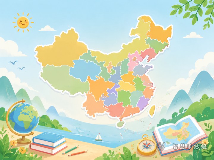
Section 2: Learn provinces by region
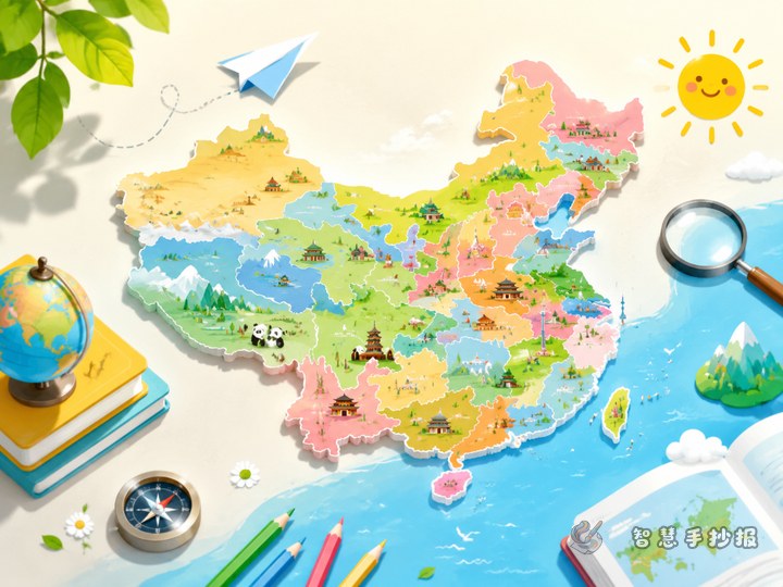
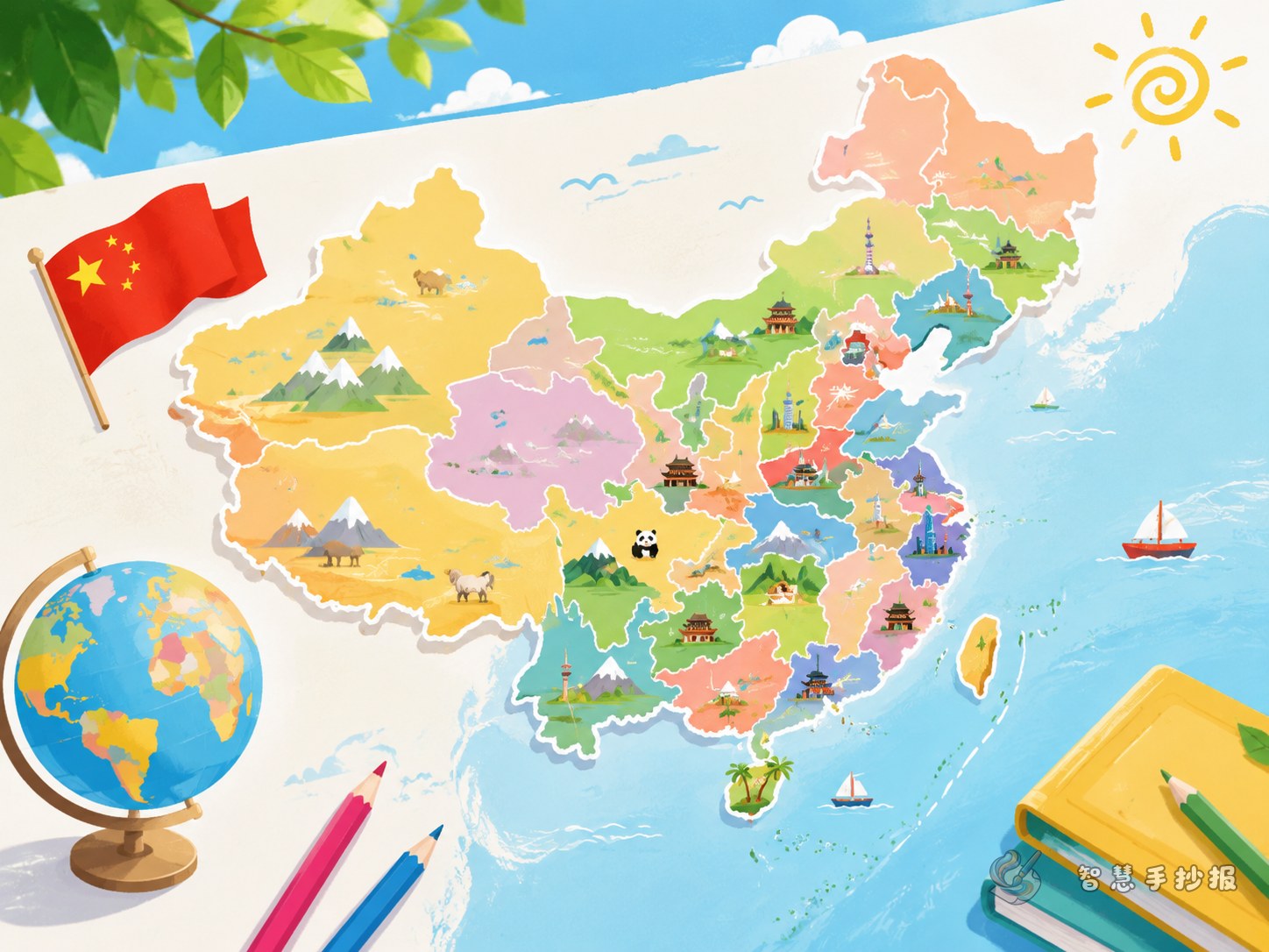
A good way to remember provinces is to group them by region. Northeast China includes Heilongjiang, Jilin, and Liaoning. North China includes Beijing, Tianjin, Hebei, Shanxi, and Inner Mongolia. East China includes Shanghai, Jiangsu, Zhejiang, Anhui, Fujian, Jiangxi, and Shandong. Central and South China includes Henan, Hubei, Hunan, Guangdong, Guangxi, and Hainan. Southwest China includes Chongqing, Sichuan, Guizhou, Yunnan, and Xizang. Northwest China includes Shaanxi, Gansu, Qinghai, Ningxia, and Xinjiang. This makes learning easier than memorizing everything at once.
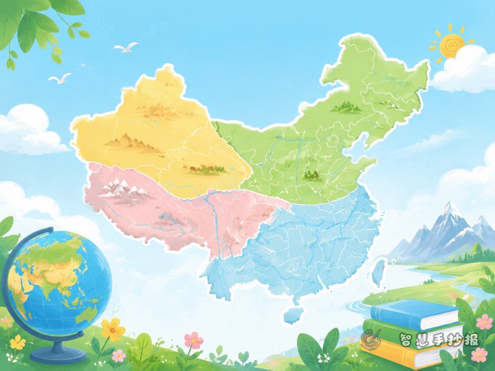
Section 3: Interesting things we can discover on the map
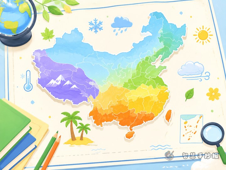
China’s terrain is higher in the west and lower in the east, so many great rivers flow from west to east. Northern and southern China differ in climate, food, and scenery. On the map, we can connect province locations with plateaus, plains, basins, hills, and other landforms.
Section 4: What I learned from geography
Looking at the map is like opening a picture of the whole country. Every province has its own place and features. Learning to read maps helps us understand textbook knowledge better and also improves observation and spatial thinking.
Ways to make the poster look better
- Use color blocks: choose different light colors for different regions.
- Add abbreviations: mark a few province abbreviations such as Jing, Hu, Yue, Chuan, and Lu.
- Use small icons: a sun for warm southern areas, a snowflake for the north, or mountains for western highlands.
- Design the title creatively: a curved title above the map can make the page more lively.
- Leave enough space: short sections with clear spacing always look better than too much text.
Easy tips for students
The map does not need to be extremely detailed. For a school handwritten poster, the key is to show the overall outline and regional distribution clearly. Keep each sentence short and readable. Sketch with pencil first, then trace with a dark pen and decorate with colored pencils. If you want to continue arranging sections or refining the final poster, you can also use the Zhihui Shouchaobao WeChat mini program for faster making and better page ideas.