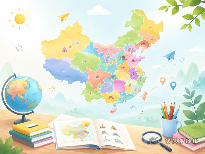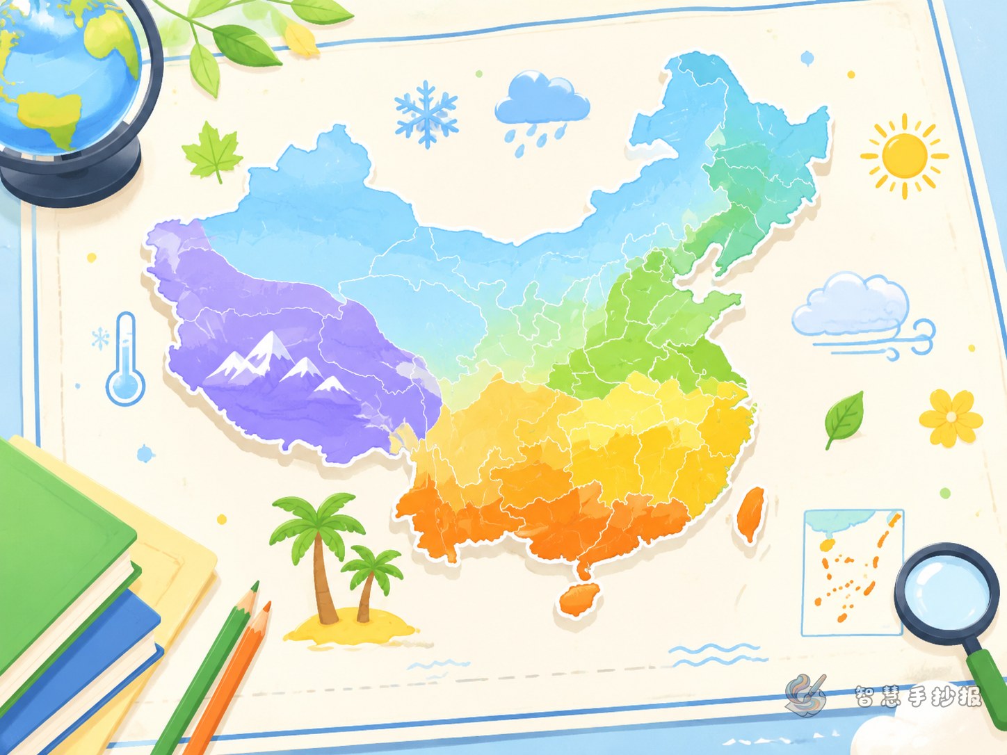
Choose a sharper angle: climate zones on the map of China
If you want a China map and provinces handwritten newspaper to feel more original, try focusing on China's climate zones. This topic works well because it combines map drawing, province knowledge, and easy-to-read science facts. In the center of the page, students can draw the outline of China and use different colors to show major climate zones, then add example provinces and simple notes around the map.
What to write on the poster
1. Short climate facts
- China stretches a long distance from north to south, so temperatures vary a lot.
- Northern areas are colder in winter, while southern areas are usually warmer.
- Climate affects crops, clothing, food, and daily life.
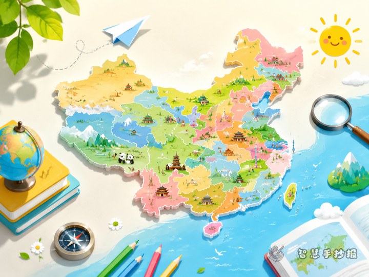
2. Example provinces to label on the map
- Heilongjiang and northern Inner Mongolia: long, cold winters.
- Hebei, Shandong, and Shanxi: clear seasonal changes.
- Jiangsu, Zhejiang, Hunan, and Jiangxi: typical subtropical features.
- Guangdong, southern Guangxi, and Hainan: warmer weather and rich plant growth.
3. Short lines students can copy
- One map helps us understand China's climate differences.
- Different climates create different local landscapes.
- From province locations, we can discover the beauty of Chinese geography.
How to organize the sections
A clear layout is a large central map with small information boxes around it. This keeps the page neat and helps readers quickly understand the topic.
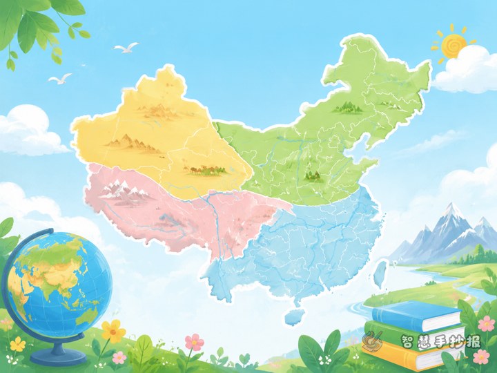
- Climate zone map: color different areas in a simple way.
- Province cards: choose one or two provinces from each zone.
- Climate and daily life: explain food, clothing, crops, or scenery.
- My geography discovery: add a short personal summary.
Layout ideas for a better-looking page
For primary school students, the map does not need too many tiny details. A clear outline and readable labels are more important. Use bright colors such as blue, green, yellow, and orange to separate different regions. A title like The Climate Code on the Map of China can make the work feel lively and focused.
- Put the title at the top center.
- Make the map the largest part of the page.
- Place two information sections on each side for balance.
- Add decorations like the sun, clouds, snowflakes, or leaves.
Simple tips to make the poster stand out
The key is not writing the most words, but making the map clear, the zones easy to compare, and the notes short. Keep each box to a few sentences. If students want to keep improving the title, layout, or content blocks, they can continue creating in the Wisdom Handwritten Newspaper WeChat mini program.