Make the theme clear: focus on regions, not just province lists
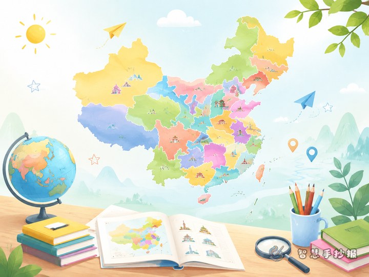
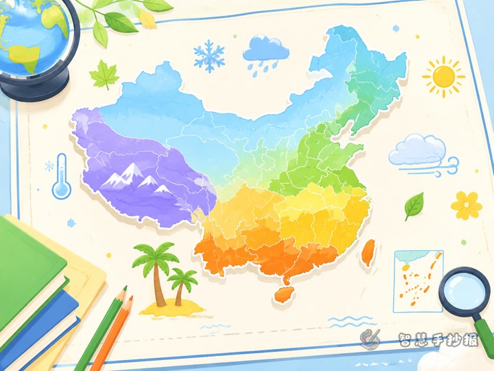
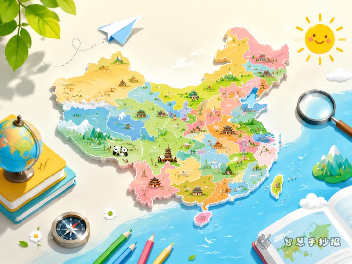
This kind of handwritten newspaper works best when the map of China is the visual center, but the main idea is not copying every province name. Instead, use the four major geographical regions to show how different parts of China vary in nature and daily life. Put a simple outline map in the middle and color North China, South China, Northwest China, and the Qinghai-Tibet region in different shades.
Your title can be simple and search-friendly, such as “What to Write About China’s Four Geographical Regions” or “Learning China Through Its Four Major Regions.” A short subtitle like “Map, climate, landforms, and daily life” also helps.
What to write in the four main sections
North China
You can mention broad plains, clear four seasons, and colder winters. Representative landforms may include the North China Plain and the Loess Plateau. You may also note that wheat-based foods are common in many places.
South China
Write about warm and humid weather, many rivers and lakes, and rich vegetation. You can mention rice growing, water towns, and the greener landscape.
Northwest China
This section can focus on low rainfall, grasslands, deserts, and large basins. You may choose Xinjiang, Gansu, Ningxia, or parts of Inner Mongolia as examples.
The Qinghai-Tibet Region
Highlight high elevation, plateaus, snow mountains, glaciers, and alpine grasslands. Animals and natural scenery can make this part vivid and memorable.
Short text materials you can copy into the poster
- The four geographical regions help us understand differences in China’s natural environment.
- North China has colder winters and many broad plains.
- South China is generally warm, humid, and rich in rivers and lakes.
- Northwest China is drier, with grasslands and desert landscapes.
- The Qinghai-Tibet Region is known for high elevation and plateau scenery.
- Different parts of China show different landforms, climates, and ways of life.
If you still have space, add a closing sentence: learning regions on a map helps us better understand the variety of China.
How to draw the map without making it messy
Use a simplified outline of China. It does not need to be highly detailed. What matters most is that the regions are easy to distinguish. Choose four light colors and add a small legend beside the map.
- Place the China map in the center as the main visual.
- Arrange four information boxes around it, one for each region.
- Keep each box to three to five lines of writing.
- Add small icons such as mountains, grasslands, rivers, or fields to match each region.
If layout feels difficult, you can first sort out your sections and then continue polishing the design in the Wisdom Handwritten Newspaper WeChat mini program.
Extra sections that make the page stand out
- Region comparison: compare temperature, rainfall, or crops.
- Map observation questions: Which region is the highest? Which one is the driest?
- My favorite region: write one sentence about the place you most want to visit.
- Keyword cards: give each region two or three key words like “humid,” “plateau,” “plain,” or “grassland.”
With these small sections, the handwritten newspaper becomes more than copied facts. It shows observation, comparison, and clear map thinking.
A simple ending sentence
China is vast and diverse. By learning its four geographical regions, we can understand the country more clearly and create a map-themed handwritten newspaper that is both neat and meaningful.