Start with a fresher idea: turn the map into a province journey
If you want your poster to feel different, try a theme like “Learn Chinese Provinces Through a Map Journey”. This keeps the China map as the visual center, but gives you more flexible sections such as “from north to south,” “from east to west,” or “places I want to visit.” The page will feel lively instead of crowded.
You may choose titles like “Travel Across China to Learn Provinces,” “China Provinces on the Map,” or “What the China Map Teaches Me.” This approach works well for elementary students because it combines basic geography with clear, simple presentation.
What to include: four kinds of content work best
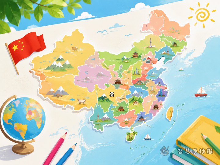
1. Basic map knowledge
- What the China map looks like in your own words
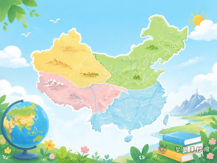
- China has a vast territory with great distances in all directions
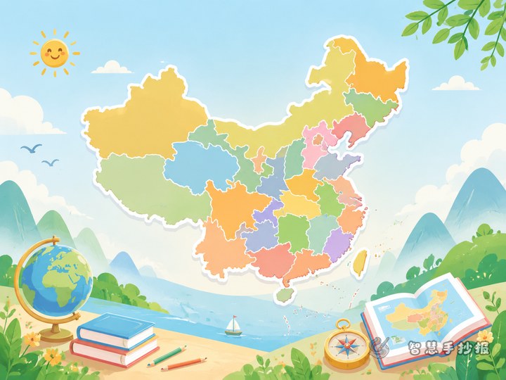
- Maps often show provincial-level regions and their locations
2. Province mini cards
- Choose 3 to 6 provinces instead of trying to fill the whole page
- For each one, write its abbreviation, capital city, and location
- You can use child-friendly descriptions such as “on the southern coast”
3. Fun geography notes
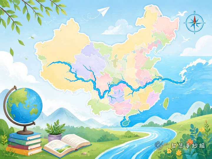
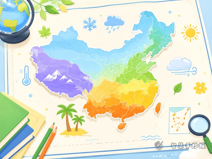
- Differences between northern and southern China
- Coastal provinces and inland provinces
- Words about landforms such as plateau, plain, basin, and hill
4. My own thoughts
A good handwritten poster does not need to be all facts. You can also add short lines like “The province I most want to visit,” “A local product I know,” or “The map helps me see how big China is.” This makes the poster feel warm and personal.
Ready-to-use writing samples
Opening sample: China is vast and rich in landscapes. Its map looks like a great picture spread across the land. Every province has its own location, abbreviation, and special charm. By learning the map, we understand our country better.
Section sample: Beijing is the capital of China and is located in North China. Guangdong lies on the southern coast and is very active in trade and daily life. Sichuan is in Southwest China and is known for its basin landform. Heilongjiang is one of the northernmost provinces and is famous for cold winters. Xinjiang is very large and has varied landforms. Hainan is a beautiful island province.
Ending sample: Looking at the map of China is like reading an interesting geography storybook. Learning provinces helps me gain knowledge and love my country more. I hope to discover even more places on the map in the future.
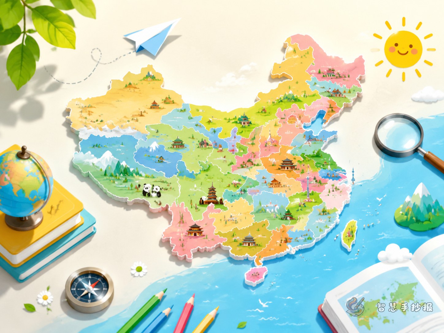
Layout idea: you do not need a huge detailed map
The biggest problem with this topic is making the page too full. A better layout is “map in the center, sections around it.” Put a simple outline map of China in the middle, then arrange small sections around it such as “northern provinces,” “southern provinces,” “coastal areas,” and “places I want to visit.”
- Center: simple map outline of China
- Top left: large main title
- Top right: quick map facts
- Bottom left: province cards
- Bottom right: my geography discoveries
You can decorate the border with a compass, clouds, mountains, rivers, or tiny travel icons to create a geography journey feeling.
How to keep it neat and student-friendly
Do not try to explain all provincial-level regions in detail, or the page will look messy. It is better to draw the big map first and then introduce a few representative provinces. Keep each paragraph to two or three sentences, write clearly, and use only three or four main colors so the poster looks tidy.
If you already know your theme and sections but still need help organizing the page, you can continue planning your poster in the Zhihui Shouchaobao WeChat mini program for a cleaner final result.