Start with one central visual
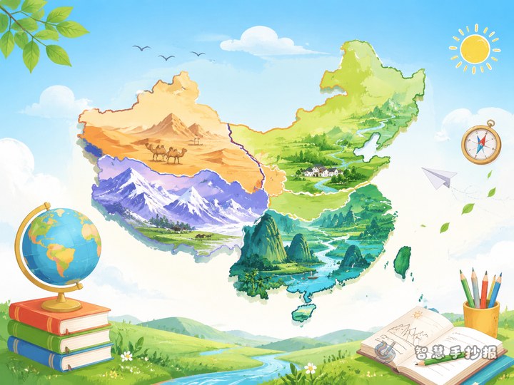
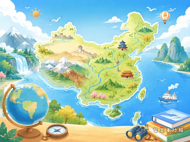
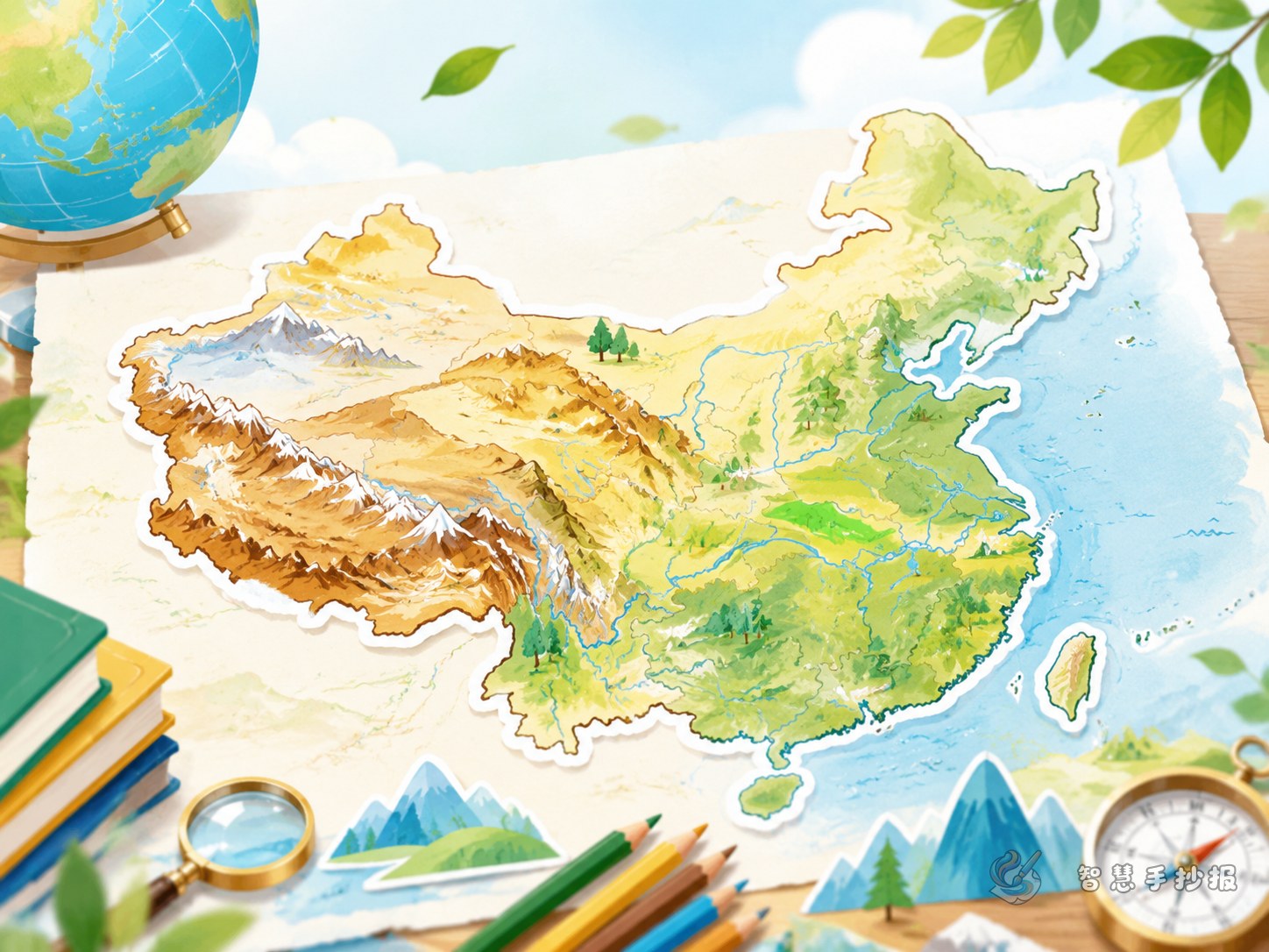
This topic looks best when a simple outline map of China is placed in the center of the page. Readers should first understand the whole picture, then move to the smaller sections around it. The map does not need fine detail. It only needs clear regional divisions and color blocks for major landforms.
If the paper is large, put the title at the top and the map in the middle with side notes on both sides. If the paper is smaller, place the map slightly to one side and group the text neatly on the other side.
What to mark on the map without making it messy
Do not try to label everything. Focus on the most useful information:
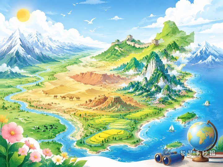
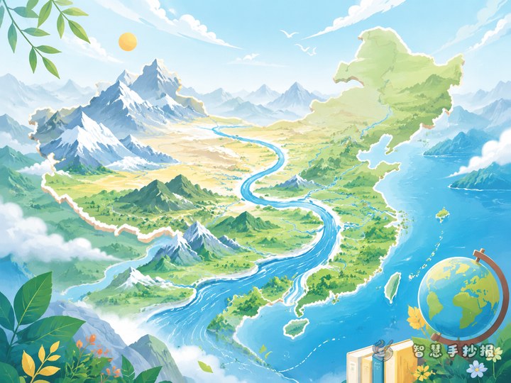
- Terrain feature: China is generally high in the west and low in the east.
- Main landforms: plateaus, mountains, basins, plains, and hills.
- Representative regions: Qinghai-Tibet Plateau, Inner Mongolia Plateau, Loess Plateau, Yunnan-Guizhou Plateau, Tarim Basin, Sichuan Basin, Northeast Plain, North China Plain, and the Middle-Lower Yangtze Plain.
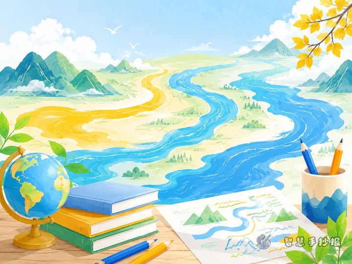
- River support: the Yangtze River and the Yellow River can help explain landform change.
This keeps the page focused and makes the map easier to read.
Short writing material students can use directly
Opening lines
China has rich and varied landforms. From plateaus to plains and from basins to hills, these natural features create a broad and beautiful picture of the country. Learning about China’s terrain helps us understand both geography and the beauty of our land.
Quick fact lines
- China’s terrain is higher in the west and lower in the east.
- China has many different landform types.
- Plateaus are mostly found in the west, while plains are mostly in the east.
- Many major rivers flow from west to east because of the terrain.
Mini section ideas
You can add boxes such as “Landforms I Know,” “Reading China Through the Map,” or “How Terrain Affects Life” to make the page feel more like a real handwritten newspaper.
A layered layout that looks organized
- Title area: write a clear main title and a lively subtitle.
- Map area: show landform distribution with colors and arrows.
- Terrain steps area: explain China’s step-like terrain in a few short lines.
- Typical landforms area: introduce 4 to 6 key examples.
- Hometown area: explain what kind of landform your hometown belongs to.
This structure is clear, practical, and suitable for elementary students.
Simple tricks to make it feel more geographic
Make the title larger, but keep the body text short. Add small decorative elements such as clouds, mountains, or wave lines, but do not let them overpower the main map. To strengthen the geography theme, use small icons like peaks for mountains and blue curves for rivers.
Try to keep the color palette within four main colors so the page stays clean. After finishing the draft, check whether the map and notes match, then add borders and final details.
A neat ending for the page
You can close with a line like “Through China’s topographic map, we see not only landform patterns but also the richness and grandeur of the country.” If you want to keep adjusting the layout, title style, or text boxes, you can continue your work in the Smart Handwritten Newspaper WeChat mini program.