Start with a clear and attractive theme
If you want a geography-themed handwritten newspaper that also highlights the beauty of China, a strong topic is “How to make a handwritten newspaper about China’s four major geographical regions”. This angle is more organized than simply listing mountains and rivers. It helps students present North China, South China, Northwest China, and the Qinghai-Tibet region in a clear and readable way.
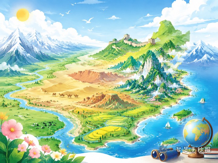
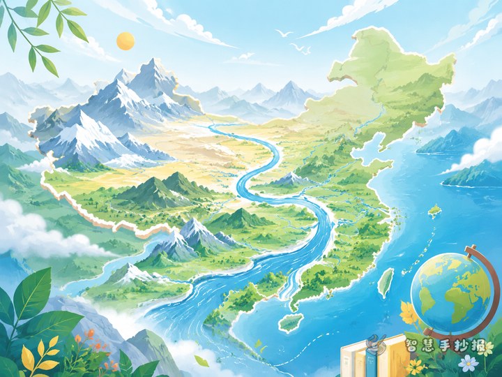
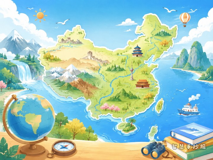
You can use a main title like “China’s Four Major Geographical Regions” and a subtitle such as “Explore China’s landscapes and learn geography”. This works well for classroom display and gives you room to add maps, scenery, climate notes, and regional features.
A layout idea that looks neat and easy to read
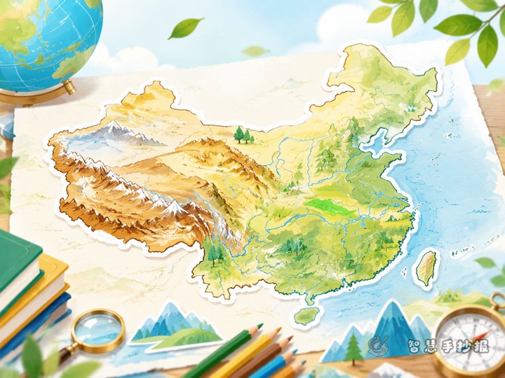
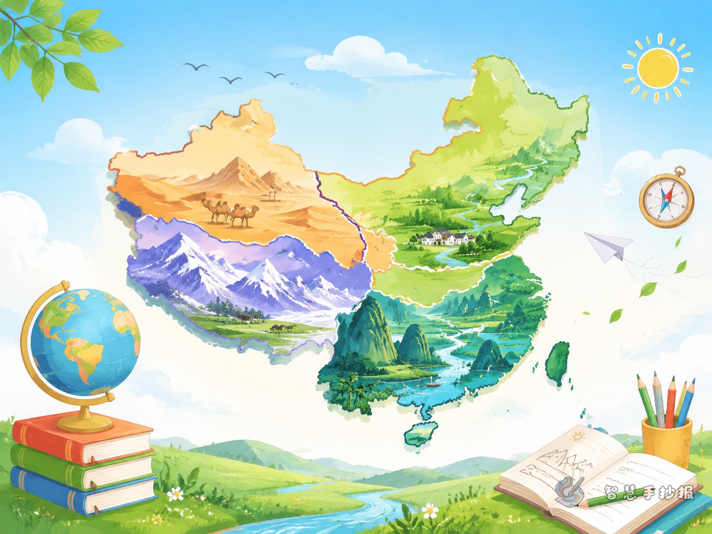
A practical layout is “center overview plus four corner sections”. Put the national overview in the middle and use the four surrounding areas for the four regions.
- Top area: Main title and a short slogan.
- Center: A simple map or regional distribution sketch of China.
- Top left: North China, with plains, cold winters, and loess landforms.
- Top right: South China, with rivers, lakes, hills, and warm humid weather.
- Bottom left: Northwest China, with deserts, grasslands, basins, and dry climate.
- Bottom right: Qinghai-Tibet region, with plateaus, snow mountains, lakes, and high-altitude features.
If you have more space, add decorative borders such as clouds, river lines, or mountain shapes to make the theme of China’s landscapes more vivid.
Ready-to-use content for each section
Section 1: What is special about North China
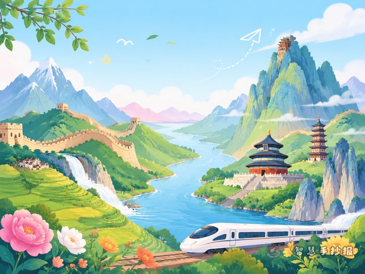
North China includes a variety of landforms such as plains, plateaus, and mountains. It has four distinct seasons, and winter is usually cold. You can write about the North China Plain, the Loess Plateau, and the Northeast Plain, and match them with images like wheat fields, the Great Wall, or snowy scenery.
Section 2: Why South China looks so beautiful
South China has many rivers and lakes, and the climate is warm and humid. Hills, basins, and plains are common here. You can mention the middle and lower Yangtze Plain, water towns in Jiangnan, terraced fields, and bamboo forests to create a lively page.
Section 3: What makes Northwest China unique
Northwest China is vast and open, with grasslands, deserts, gobi landforms, and basins. Rainfall is lower, so the natural scenery often looks bold and expansive. You can include the Tarim Basin, Inner Mongolia grasslands, or desert scenes, with simple drawings of camels, poplar trees, and the sun.
Section 4: Why the Qinghai-Tibet region stands out
The Qinghai-Tibet region is known for its high elevation. Snow mountains, glaciers, and lakes are important features. You can describe it as the “Roof of the World” and add drawings of snowy peaks, yaks, and a bright blue sky to show its grandeur and purity.
Small knowledge boxes to enrich the page
Besides regional introductions, you can add short knowledge blocks to make the handwritten newspaper more educational.
- Landform facts: China has mountains, plateaus, plains, basins, and hills.
- Climate facts: Different regions have different climates because of location and elevation.
- Landscape beauty: China’s rivers and mountains shape many local ways of life.
- My learning note: Add one sentence about what you learned, such as “I discovered how diverse China’s landscapes are.”
These small additions help your work feel complete and thoughtful.
Color choices and drawings that work well
Use different colors for the four regions. North China can use blue-gray or golden tones, South China can use green, Northwest China can use yellow or orange, and the Qinghai-Tibet region can use blue and white. Try not to use too many colors at once. A clean and fresh style is usually best for primary school projects.
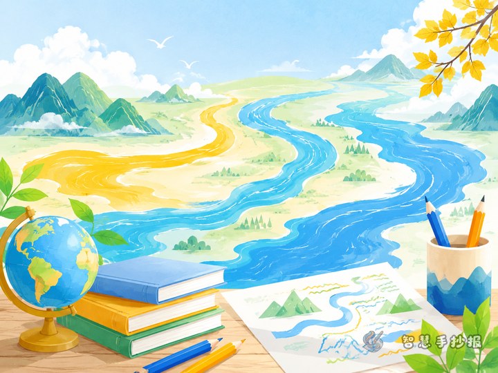
For decorations, choose simple drawings such as mountains, rivers, trees, clouds, the sun, grasslands, or snow peaks. The title can be larger, while the body text should stay neat and easy to read. Highlight key words lightly with colored pens.
A strong ending for the whole work
You can end with a short summary like this: China is a vast country with many different landscapes. From snowy northern plains to southern water towns, from northwestern deserts to high plateaus, every region shows the richness and beauty of Chinese geography. Making this handwritten newspaper helps us appreciate our country and learn useful geography knowledge.
If you want to keep improving your layout, title design, and section ideas, you can continue your project in the Zhihui Shouchaobao WeChat mini program.