
World Flags and Country Geography Poster Topics
Need to make a World Flags and Country Geography Poster poster? Find topic options, copy references, section ideas and layout suggestions.
Topics you can use
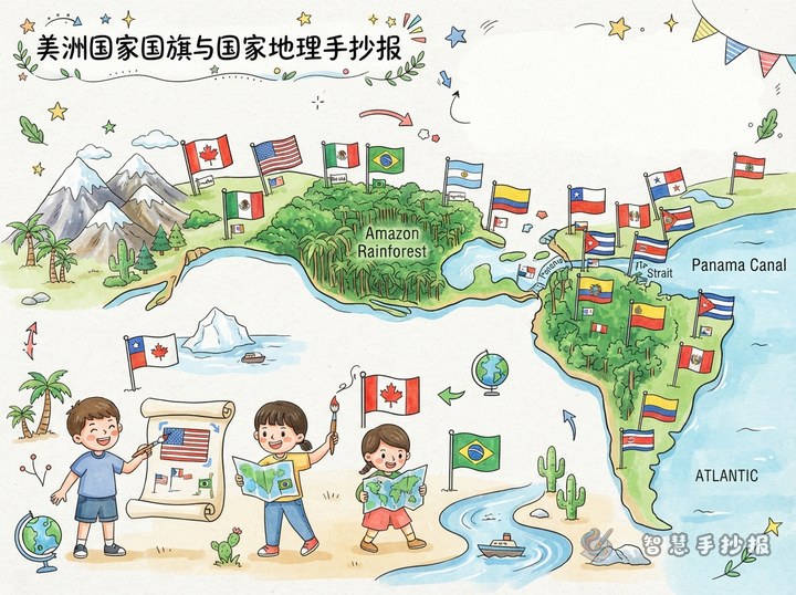
How to Make a Flags of the Americas Poster: Link Rainforests, Mountains and a Canal to Geography
Organise the whole poster around a single north-to-south route, splitting the page into North America, Central America and South America. Each flag gets one geography word attached to it, such as maple leaf, cactus, canal, rainforest, mountain or grassland. The article also offers five ready-to-use sections, short sentences to copy, colour advice and a simple step-by-step build order.
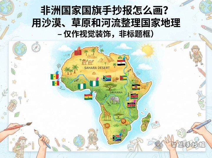
How to Make an African Flags Handwritten Newspaper with Desert, Savanna, and River Geography
This article combines African country flags with three geography themes: deserts, savannas, and rivers. It suggests a clear title, five layout zones, country card examples, flag color meanings, and a simple drawing order for a world flags and country geography handwritten newspaper.

How to Make an Island Nation Flags Poster: Mapping Countries by Ocean
Build a flags poster around countries surrounded by water: pick eight island nations from different oceans, arrange them as a sea route, island cards or ocean layers, and fill three text boxes with flag notes, geography facts and ocean trivia.
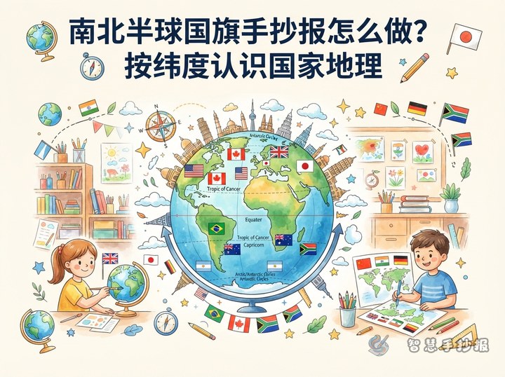
How to Make a Northern and Southern Hemisphere Flag Poster
A Northern and Southern Hemisphere flag poster can use a globe and the Equator as its main design. Arrange flags by hemisphere, add a short location, climate, or landform fact for each country, and include a note about opposite seasons to create a clear and engaging geography project.
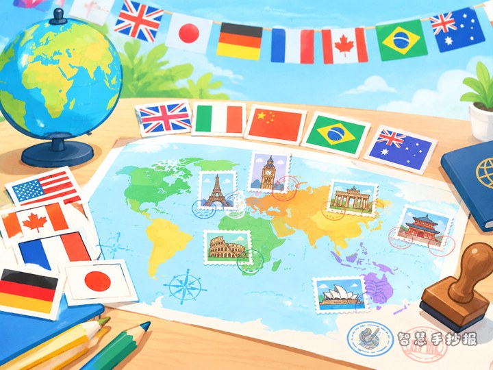
How to Draw a World Flags Project with Capital City Stamps
This project uses capital city stamps and a world geography route to combine national flags, capitals, continents, and geographical facts. It also offers practical advice for flag drawing, color planning, page organization, and creating a geography quiz for primary school students.
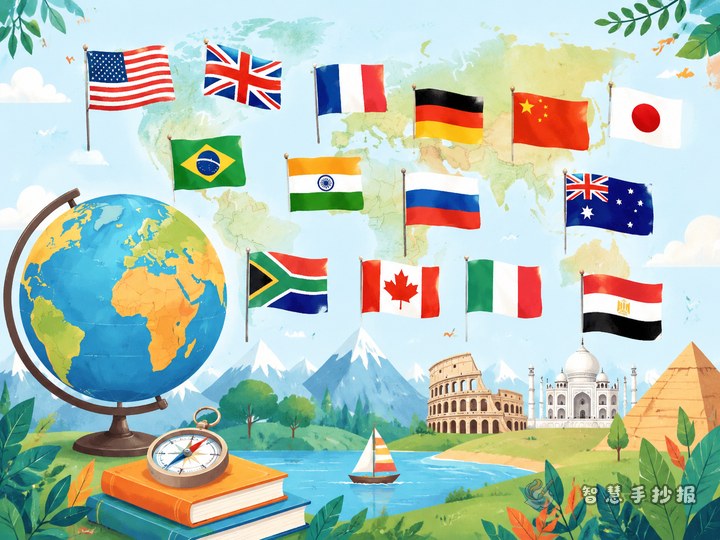
How to Make a World Flags Color Handout?
Use flag colors as visual clues and turn six flags into simple country profile cards. With a color ribbon, short geography notes, and a guessing game, students can create a clear and engaging handout while learning to compare national flags.
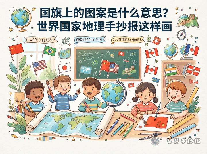
What Do Flag Symbols Mean? A World Geography Newspaper Idea
Use the theme “Geographic Clues Hidden in Flags” to combine selected national flags with capitals, continents, symbols, and geographic keywords. Fact cards, a flag quiz, and a carefully planned color layout create a page that is educational, attractive, and easy for children to complete.
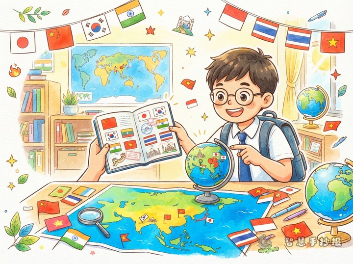
How to Make an Asian Countries Flag Poster: A Travel Passport Theme
This “Travel Across Asia with Flags” plan combines a light map, a travel route, and six country flag cards. It includes text for capitals and geography clues, plus practical ideas for layout, color choices, decorations, and final checks.
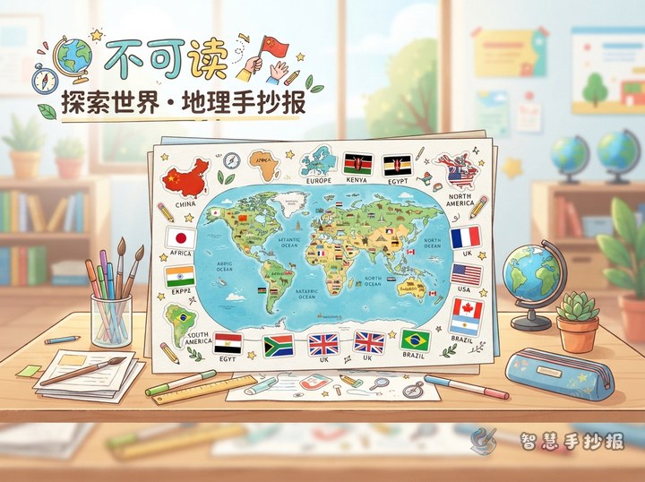
How Can You Turn Five Continents’ Flags into a Geography School Poster?
This poster plan follows a trip around the world. It turns flags, capitals, and geography keywords from selected countries into compact cards around a simple map, with practical advice on spacing, colors, text, and neat finishing for school or family projects.
Want to create a poster now?
Scan with WeChat, enter this theme, and generate the layout, section copy and line art.
 Scan with WeChat