Pick a Geography Route First
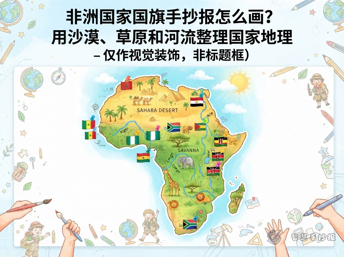
An African flags handwritten newspaper works best when it follows a clear geography story. Instead of listing flags randomly, use three landscape clues: the Sahara Desert, the savanna grasslands, and great rivers such as the Nile and the Congo. This gives the page a natural route from north to south and from dry areas to greener areas.
Try a title like “African Flag Geography Adventure,” “Follow the Rivers to African Flags,” or “Flags of Desert and Savanna.” Leave enough space around the title for an African outline and small flag cards.
Choose Five or Six Flags
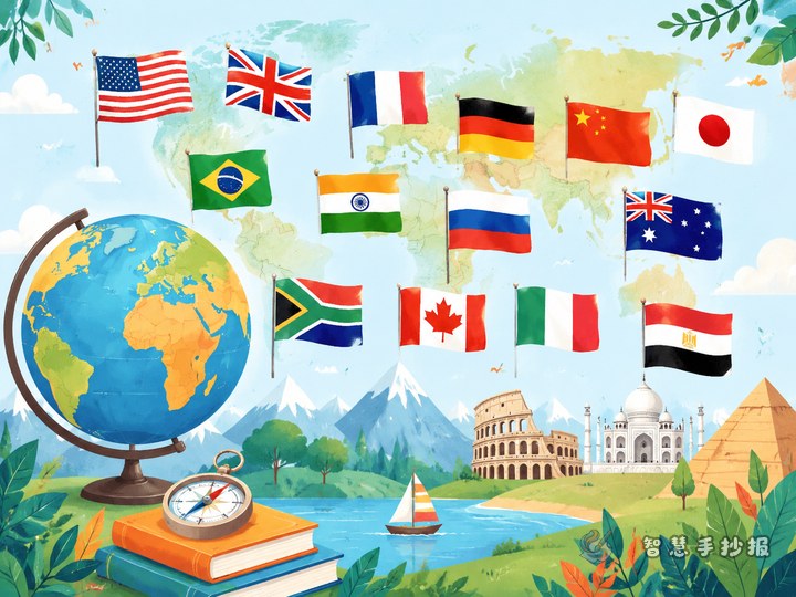
Five or six countries are enough for a strong page. Pick flags with clear colors and easy patterns. Each country can become a small card with a flag, the country name, and one geography clue.
- Egypt: red, white, and black flag. Pair it with the Nile River and pyramids in a “river and civilization” area.
- Kenya: black, red, green, and a shield pattern. Pair it with the East African savanna and wildlife.
- South Africa: a six-color flag like a rainbow. Pair it with the Cape of Good Hope, oceans, and many cultures.
- Nigeria: green, white, green. Pair it with tropical grasslands and farming.
- Ethiopia: green, yellow, red, and a star emblem. Pair it with highlands and coffee.
If your paper is small, four countries are still enough. The key is to give every flag a geography sentence so no flag stands alone.
Turn the Page into a Map
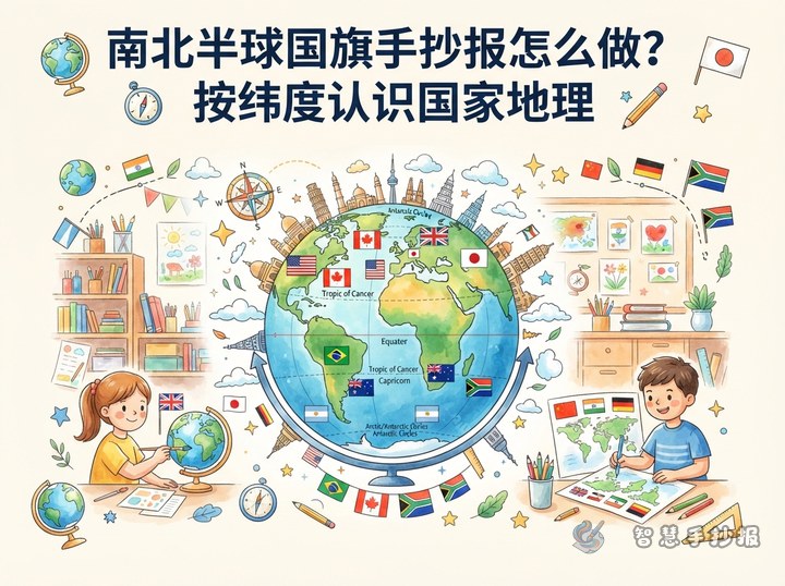
Think of the whole page as an African map, not a plain grid. You can arrange it in this order:
- Put the main title in the upper left, with a desert color or savanna green background.
- Draw an African outline in the center. It does not need to be exact; a simple curve that is wide in the north and narrow in the south works well.
- Place small flag cards around the outline, using arrows or dotted lines to connect them.
- Leave a “country card” row at the bottom for the country name, capital, common colors, and one geography fact.
- Add a short Q&A corner at the lower right, such as “Which river crosses the desert?” or “Which flag looks like a rainbow?”
This gives the page a center, a route, and an interactive part. From far away it looks like a geography exploration map; up close it contains flag knowledge.
Country Cards and Color Meanings
Keep country cards short, ideally within three lines. You can use this pattern: country name, location, geography clue, and flag colors. Explain color meanings in simple words for younger students.
- Green often suggests grasslands, forests, farming, and hope.
- Yellow often suggests sunlight, deserts, minerals, and harvest.
- Red often suggests land, courage, effort, and life.
- Black often suggests people, soil, and strength.
- Blue and white often suggest sky, rivers, oceans, and peace.
Add one personal observation, such as “I put blue beside the river because the Nile brings green life to the desert.” This makes the handwritten newspaper feel like your own work, not just copied facts.
Drawing Order and Finishing Touches
Start with light colors and large shapes, then add dark colors and small details. Sketch the title, African outline, and five zones in pencil first. Fill deserts and grasslands with light yellow and light green. Draw flags and write text last. Make the flags large enough to show their colors and symbols clearly.
To make the page lively, add a blue river line, a few acacia trees, sand dune curves, or small animal silhouettes along the edges. Do not let decorations cover the text. After finishing, ask a parent or teacher to check country names and colors.
For more African geography layouts, flag cards, and text boxes, open the Smart Handwritten Newspaper WeChat mini program and keep creating with ready layouts.