Turn Flags into a Geography Trail
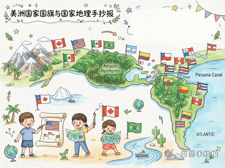
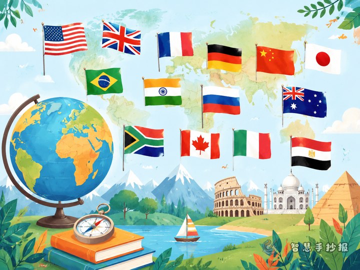
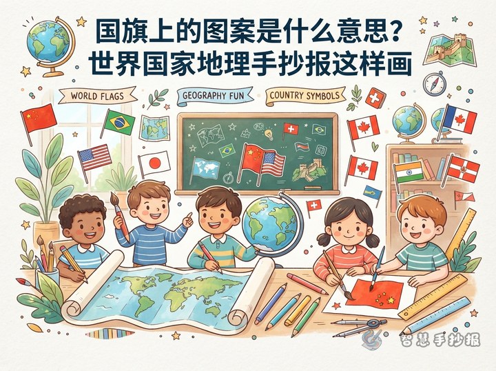
Build the newspaper around the question, “Can you guess the country from its flag?” Choose six to eight countries from different continents. Beside each flag, write the country name, capital city, continent, and one geographical feature. Connect the sections with arrows to create a route of discovery.
What to Write for Each Country
A primary school project does not need a long country profile. Give each country a small information box with five items: name, capital, continent, geographical feature, and a flag clue.
- Canada: Ottawa is the capital, and the country is in North America. A maple leaf appears in the center of its flag.
- Brazil: Brasilia is the capital, and the country is in South America. Its flag includes a yellow diamond and a blue globe.
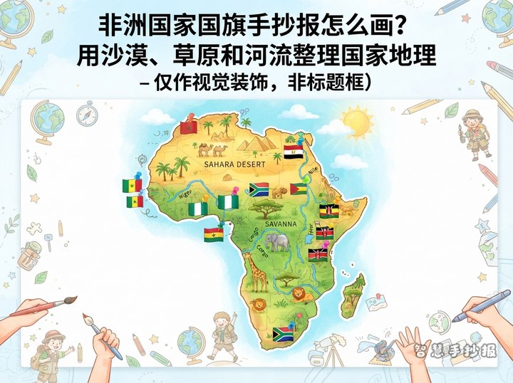
- Egypt: Cairo is the capital, and the country is in Africa. The Nile is an important geographical feature.
- Australia: Canberra is the capital, and the country is in Oceania. The Southern Cross can be seen on its flag.
Add one sentence such as “What would I like to learn about this country?” This gives the project a personal touch. Check country and capital information with a textbook or a reliable map before writing.
Design the Page as Capital City Stamps
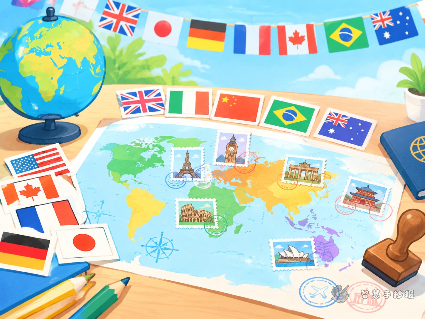
The layout can look like a world geography passport, while keeping the focus on country facts. Put the title at the top, draw a simple world outline on one side, and arrange several “capital city stamp” sections around it. Place a small flag inside each stamp, followed by the country, capital, and continent.
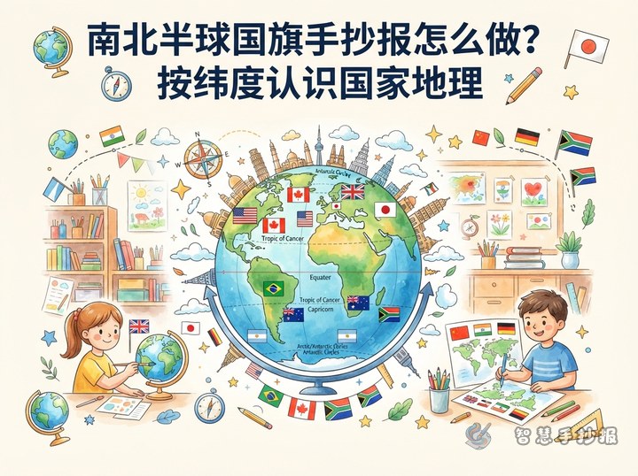
To keep the page readable, organize countries in two groups, such as Northern and Southern Hemisphere or mainland countries and island countries. Use larger lettering for country names, keep explanations to two or three lines, and turn longer information into bullet points.
Simple Flag Drawing Tips
Use a pencil to draw flags in a consistent size before adding stripes, geometric shapes, or stars. Keep the flagpoles facing the same direction for a tidy appearance. When a symbol is very small, draw its most recognizable outline and add a written clue beside it.
- Plan the title, map, and information boxes before drawing the flags.
- Use a ruler for straight borders and balanced flag shapes.
- Fill lighter colors first, then add darker outlines.
- Check that every country, capital, and continent match before adding arrows and decorations.
End with a Geography Challenge
Add a “Geography Detective” section at the bottom with questions such as “Which countries are in the Southern Hemisphere?”, “Which ones are islands?”, and “Which flags include stars?” The answers can be found in the information boxes, encouraging readers to explore the whole page. After planning the content, continue arranging and completing the project in the WeChat mini program “Smart Handwritten Newspaper.”