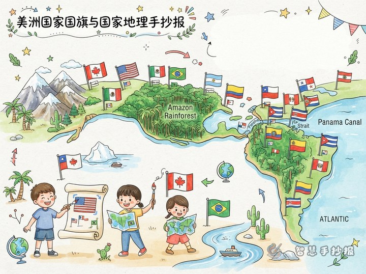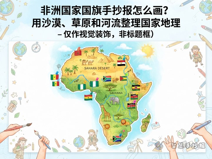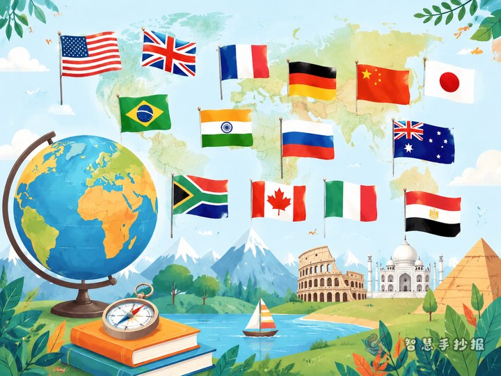
Build the page around two halves of Earth
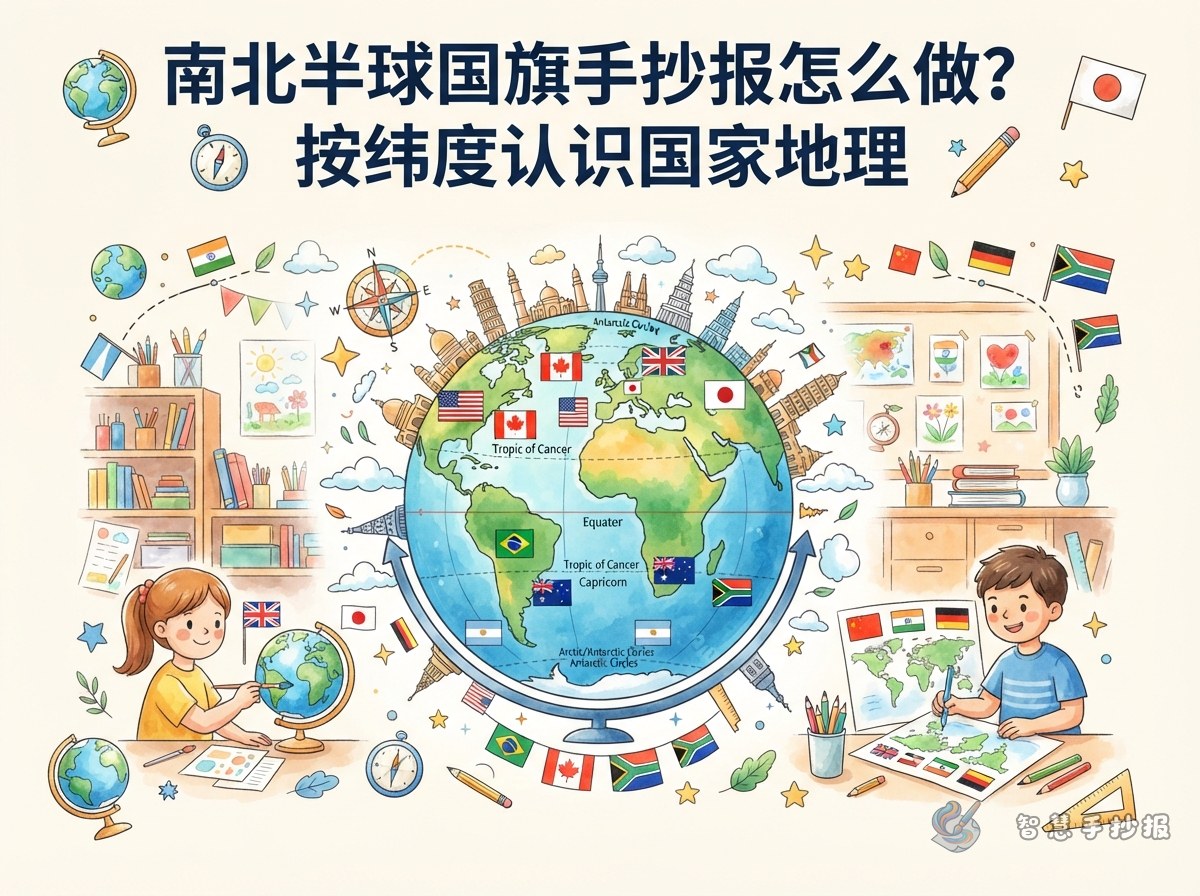
This project works best when the Northern and Southern Hemispheres are the main idea. Instead of lining up many flags, use flags to show where countries are located on the globe. A possible heading is “Which Side of Earth Does a Flag Point To?”
Draw a simple globe in the center and add a dashed line for the Equator. Place selected countries above or below the line. Next to each flag, include the country name and one short geographic fact.
Four sections for an easy-to-read layout
- Equator facts: The Equator is an imaginary line that divides Earth into the Northern and Southern Hemispheres. Places near it are usually warm throughout the year.
- Northern Hemisphere flag stop: Choose countries such as China, Canada, France, or Egypt. Add the continent, climate, or a well-known landform.
- Southern Hemisphere flag stop: Australia, Brazil, Argentina, South Africa, and New Zealand are useful examples. Check a map because some countries cross or lie close to the Equator.
- Season switch: When it is summer in the Northern Hemisphere, many places in the Southern Hemisphere are experiencing winter, and the reverse is also true.
Ready-to-use country fact cards
- Canada: Located in the northern part of North America, Canada has a red maple leaf on its flag and many forests and lakes.
- Egypt: Egypt lies across northeastern Africa and southwestern Asia. The Nile River is important to its farms and cities.
- Australia: Australia is in the Southern Hemisphere and is surrounded by ocean. The stars on its flag are linked to the southern sky.
- Brazil: Most of Brazil is in the Southern Hemisphere. It is home to extensive tropical rainforest and the Amazon River basin.
- Argentina: In southern South America, Argentina stretches a long distance from north to south and has varied climates and landscapes.
Keep each card short: include the flag, location, and one geographic feature. For a country that crosses the Equator, write “mostly in the Northern Hemisphere” or “mostly in the Southern Hemisphere.”
Make the page feel like a globe exploration
Use fresh blues and greens for the upper half and a different but equally bright color family for the lower half. Arrange small rectangular flags in a curve around the globe, with thin guide lines pointing to their areas. Add simple icons such as the sun, clouds, waves, mountains, or trees.
Three making tips
- Sketch the globe, Equator, and text boxes lightly in pencil before coloring.
- Keep flag colors and major symbols as accurate as possible. Complex details may be simplified.
- Use short sentences and leave breathing room so the flags and globe stand out.
Check the geography before finishing
Make sure each country is placed in the correct hemisphere and that the note about opposite seasons is clear. After drafting, students can also use the Wisdom Handwritten Newspaper WeChat mini program to refine headings, sections, and colors for a more polished page.