Build the theme around color clues
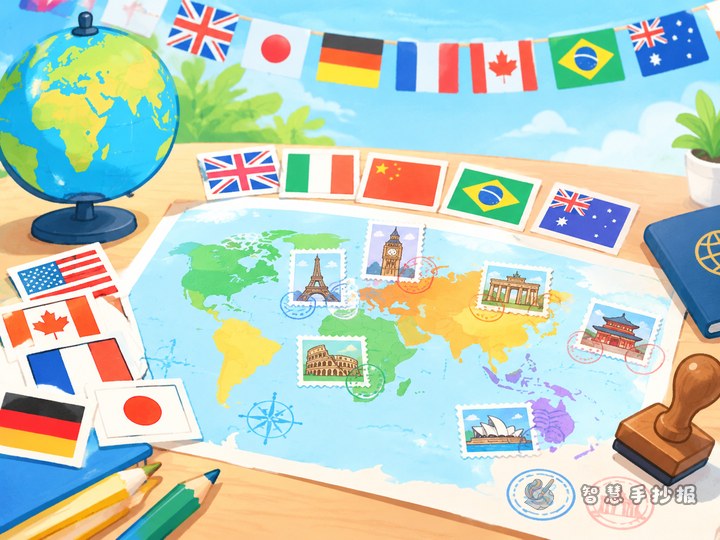
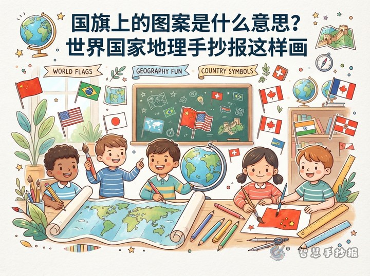
This handout does not need to list every country. Instead, combine the main colors, flag layout, and a few country facts into a colorful flag-watching project. Use colors such as red, yellow, blue, green, black, and white as visual clues, then choose six to eight flags for closer study. The result will be focused and easy to read.
Possible titles include “World Flags by Color,” “Learning Geography Through Flags,” or “Colorful Country Profiles.” A short subtitle such as “Look at a flag, meet a country” can make the idea clear.
Turn six flags into country profile cards
Give every card the same structure so that the flags are easy to compare. Each card can include the country name, main flag colors, flag features, capital city, region, and one short geography fact.
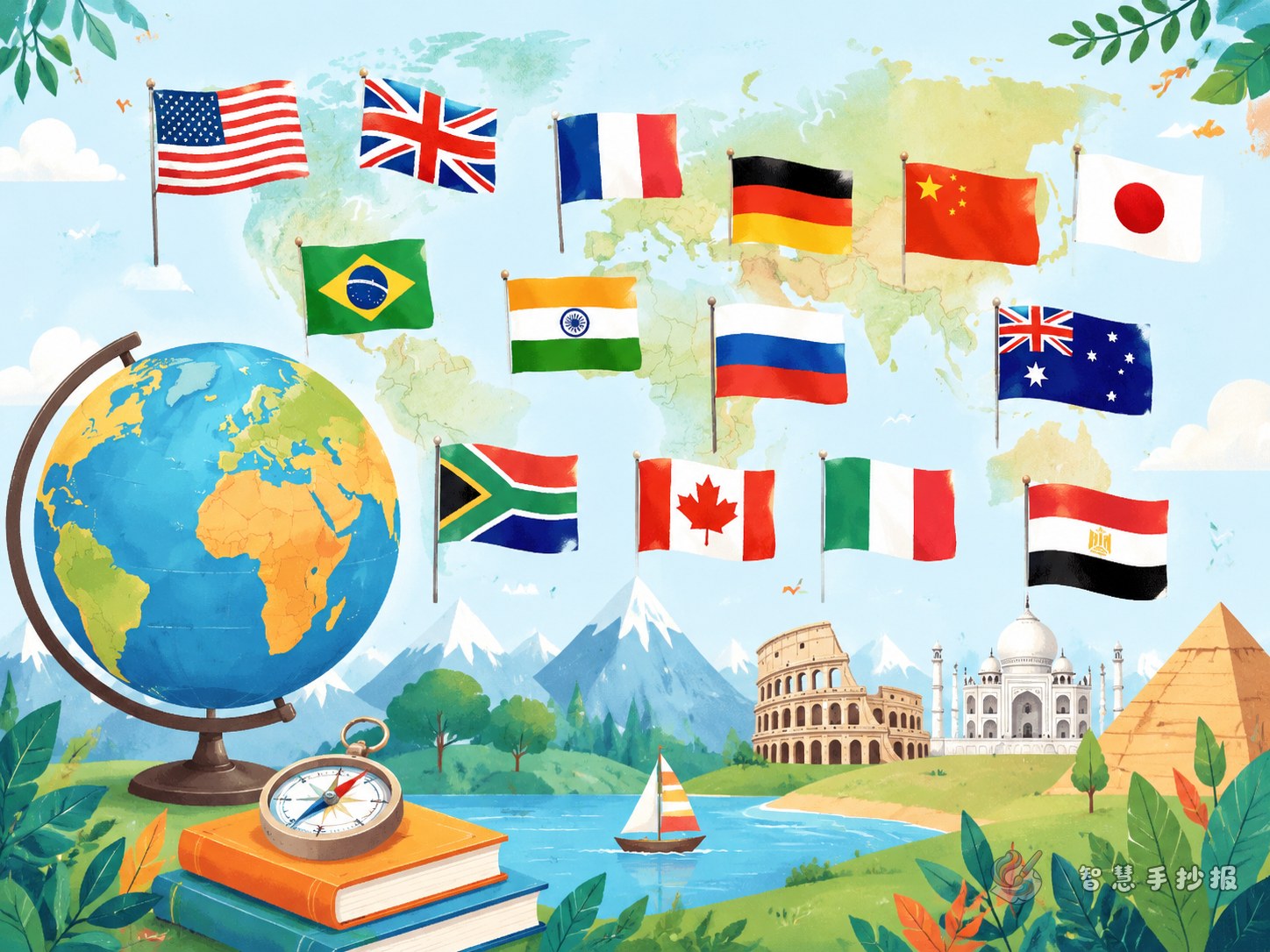
- Japan: a white field with a red circle in the center; add Tokyo and the fact that Japan is an island country.
- France: blue, white, and red vertical stripes; add Paris and the fact that it is in Western Europe.
- Brazil: a green field with a yellow diamond and blue globe; add Brasília and the fact that it is in South America.
- Canada: red and white with a maple leaf; add Ottawa and the fact that it is in North America.
- Sweden: a blue field with a yellow cross; add Stockholm and the fact that it is a Nordic country.
- India: orange, white, and green horizontal bands with a blue wheel; add New Delhi and the fact that it is in South Asia.
Choose flags with different layouts, such as horizontal stripes, vertical stripes, cross designs, and distinctive central symbols. This creates a stronger visual comparison.
Explain color meanings with care
Do not give one universal meaning to a color. It is not accurate to say that red always means courage or blue always means the sea. A color may relate to history, a people, the natural environment, or national ideals, while some designs continue an older tradition. You can write that the same color may express different ideas in different countries, then add a short, verified note for each flag.
If a source is uncertain, simply describe the visible facts, such as “blue, white, and red vertical stripes” or “a red circle in the center.” Accurate observation is enough for a primary-school handout.
Connect the cards with a color ribbon
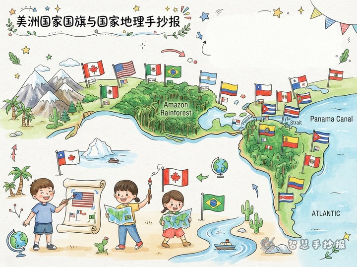
Try a horizontal or circular layout. Put the large title at the top, draw a ribbon made of colored lines through the center, and arrange six country cards below it. Use flag-inspired border colors, but keep the card backgrounds light so the words remain clear.
- Place a “Color Watch” box on the left to list the three most common colors on the page.
- Put the flag cards in the center, using a similar size for each flag and a clear country name.
- Add a “Geography Discovery” box on the right with one sentence about climate, landforms, nearby seas, or region.
- Use arrows or colored dots at the bottom to guide the reading order from “spot the colors” to “learn the country.”
Sketch the sections lightly in pencil before adding color and outlines. Small symbols can be simplified as long as the main color blocks and most recognizable feature remain visible.
Finish with a flag-guessing corner
Make the handout interactive with a small “Guess the Flag” challenge. For example: “Which flag has a yellow cross on a blue field?” “Which flag has a red circle in the center?” or “Can you find a flag whose main colors are green, yellow, and blue?” Put the answers on a small flap or in a corner box.
After preparing the text and color plan, use Smart Handwritten Newspaper to organize the headings, sections, and layout ideas, then continue in the WeChat mini program to create a handout for printing or copying.