Start with a memorable idea
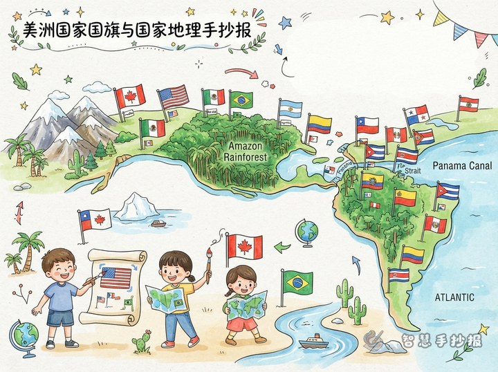
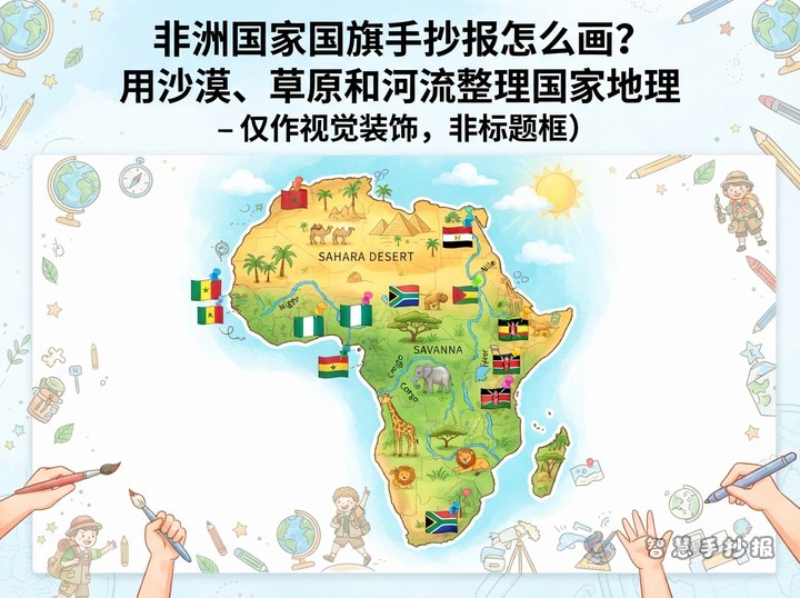
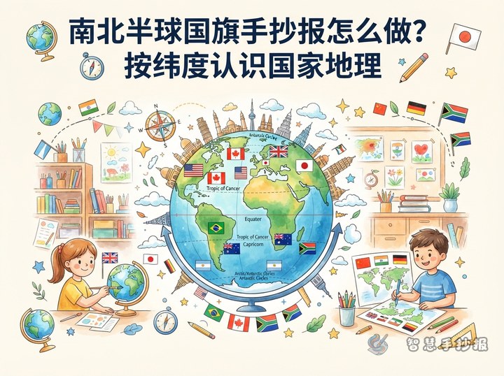
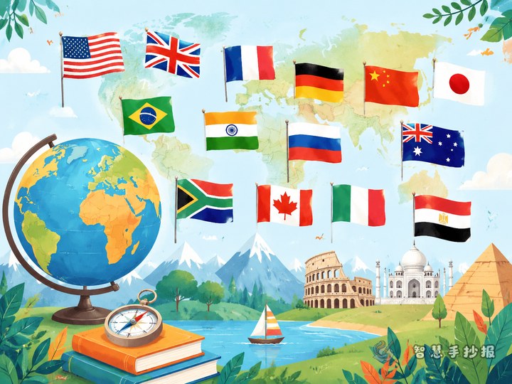
Build the newspaper around the idea that “colors and symbols on flags tell stories.” Choose six to eight countries with distinctive flags, such as China, Canada, Brazil, Turkey, or South Africa. Beside each flag, add the country name, capital city, continent, and one short note about its design or geography.
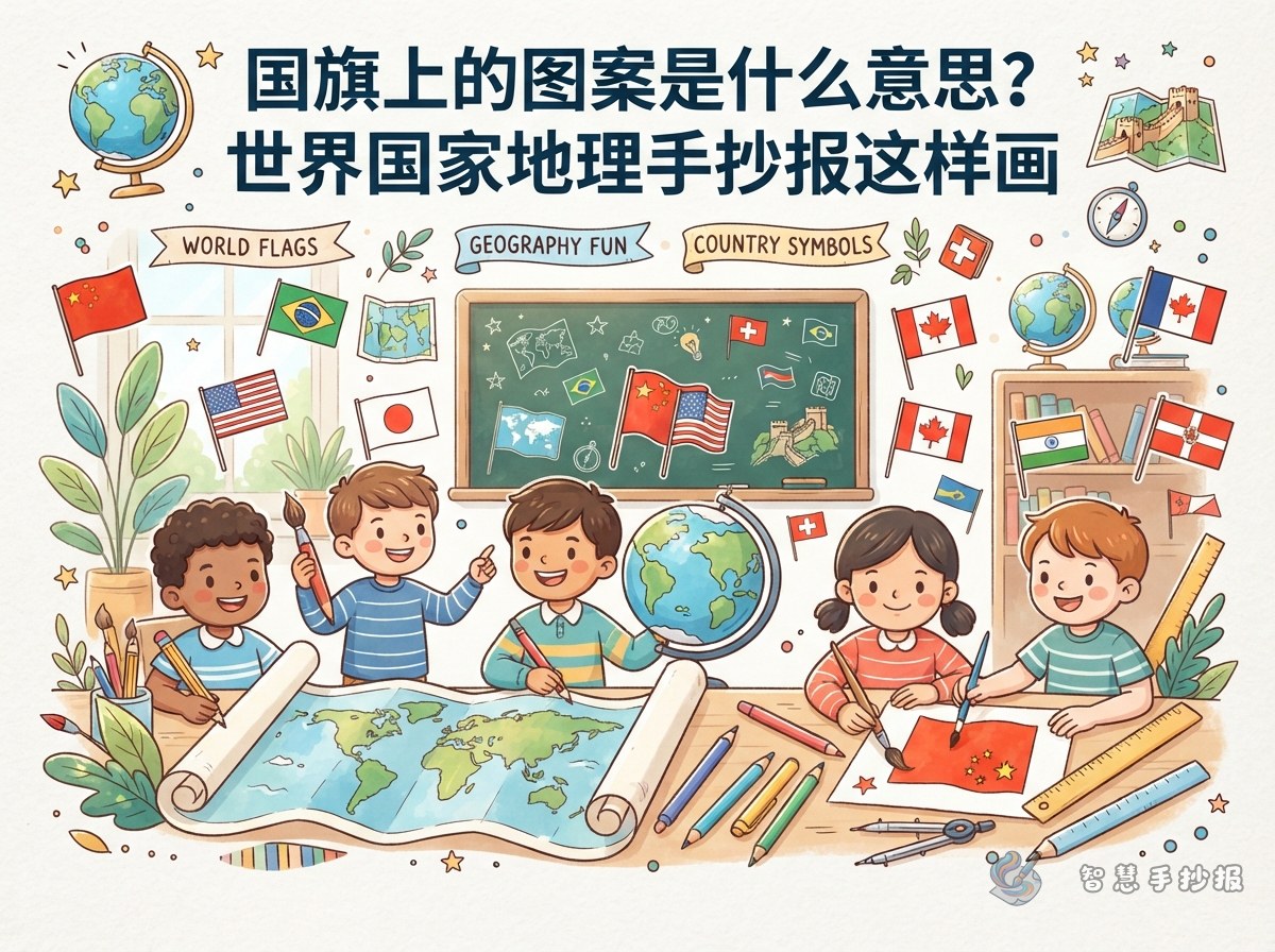
A title such as “Geographic Clues Hidden in Flags” can sit at the top. Small drawings of a compass, globe, or waving flag can make the page lively without taking space away from the main information.
Turn each country into a fact card
Keep every country section consistent: country, capital, continent, main flag colors, recognizable symbol, and one geographic keyword. For example, a Brazil card may say “Capital: Brasilia; Continent: South America; Keywords: Amazon River and rainforest.” A Canada card may say “Capital: Ottawa; Continent: North America; Keywords: maple leaf and forests.”
- China: a red field with yellow stars; keywords may include Asia, the Yangtze River, and the Qinghai-Tibet Plateau.
- Canada: a maple leaf in the center; keywords may include North America, Ottawa, and extensive forests.
- Brazil: a bright green, yellow, and blue design; keywords may include South America, the Amazon River, and tropical rainforest.
- Turkey: a red field with a crescent and star; keywords may include the meeting point of Europe and Asia and Ankara.
When explaining symbols, use careful wording such as “a commonly discussed meaning.” Check the facts before copying them, since many flag symbols have complex histories.
Use color to guide the reader
Divide the page into three areas: “Flag Watch,” “Country Fact Cards,” and “Geography Discoveries.” Enlarge three important flags in one corner, arrange the fact cards beside them, and place a small quiz along the bottom: “Which country uses this flag?” or “Can you match each capital to its country?”
Give each fact card a white background and use one color from its flag for the border. Dark blue or black works well for headings and body text. Leave enough open space around each flag so that stripes, stars, crescents, and leaves remain easy to recognize.
Short facts to copy
- A national flag is an important symbol of a country, and its colors and shapes may reflect culture or history.
- When observing a flag, look at the background color first, then the geometric shapes, and finally any plants, animals, stars, or other symbols.
- A capital is an important city, but it is not always the largest city or the city with the biggest population.
- Countries on the same continent can have completely different flag designs, which makes comparison interesting.
Add a “Flag Detective” game by drawing three simplified flags and asking readers to identify the country and capital. Keep the clues accessible, and place the answers upside down or in a small section at the bottom.
Finish with a careful review
Sketch the title, columns, and illustrations in pencil before outlining and coloring. Pay attention to flag proportions, direction, and color order. Keep each country entry to three to five lines so the page stays neat.
Before finishing, check the spelling of each country, capital, and continent, and make sure no important flag symbol is missing. To arrange the page more quickly, continue in the WeChat mini program with Zhihui Shouchaobao, where you can organize sections and adjust text to fit the paper size.