1. Let the Border Line Tell the Story
A poster about China's land neighbors can easily turn into a long list of names. Give it a route instead: draw one border line from the northeast down to the southwest and place countries and provinces along it. The page then has a starting point and a direction, and readers can follow it naturally.
Before drawing, decide where the line goes, how many groups of content it will carry, and where the title will sit. A gently curving line works well because it echoes a real border and leaves small pockets for text cards.
2. Sort the Neighboring Countries by Direction
Names lined up in one row are hard to remember. Group them into four direction cards, each with a heading and a short list.
Northeast
Korea and Russia. Add a small note such as “across the river” to fix the location in the northeast corner.
North and northwest
Mongolia, Kazakhstan, Kyrgyzstan and Tajikistan. Some names are long, so set them on two lines instead of squeezing them into one.
West and southwest
Afghanistan, Pakistan, India, Nepal and Bhutan. Arrange these as labels along a drawn mountain range to suggest high plateaus.
South
Myanmar, Laos and Vietnam. Short names fit neatly in a horizontal strip beside the Yunnan and Guangxi cards.
Flags are optional. Direction arrows, simple peaks or river lines are enough decoration; clear lettering matters more.
3. Give Each Border Province a Position-and-Feature Note
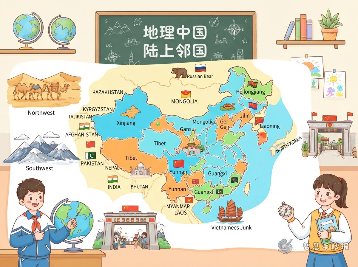
Cover Liaoning, Jilin, Heilongjiang, Inner Mongolia, Gansu, Xinjiang, Tibet, Yunnan and Guangxi. For each one, write two sentences: where it is and whom it borders, then one feature of its landscape, products or scenery.
- Liaoning: in the southern northeast, with both coastline and border, known for its coast and ports.
- Jilin: in the central northeast, bordering Korea to the east, with Changbai Mountain and forests.
- Heilongjiang: China's northernmost province, facing Russia across the river, with border rivers and ice and snow.
- Inner Mongolia: a long east-west region bordering Mongolia and Russia to the north, with grasslands and pastures.
- Gansu: a narrow northwestern corridor with desert and gobi scenery.
- Xinjiang: a large region with several neighbors, known for the Tianshan Mountains, oases and fruit.
- Tibet: a southwestern plateau with snow mountains and yaks.
- Yunnan: a southern border province with several neighbors, tropical scenery and many ethnic cultures.
- Guangxi: coastal and bordering in the south, with karst hills and river scenery.
Avoid absolute claims such as “the biggest” or “the only” unless you have checked them. A clear, simple feature is safer than a dramatic one.
4. Three Layouts That Stay Readable
- Zigzag timeline: start at the top left and draw a line diagonally across the page, alternating country cards and province cards on either side. Good when you have plenty of short text.
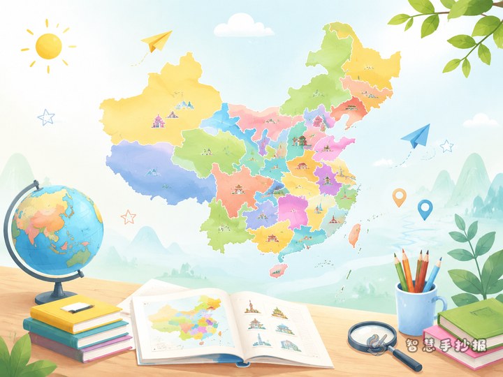
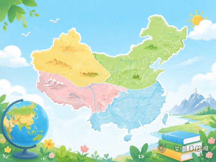
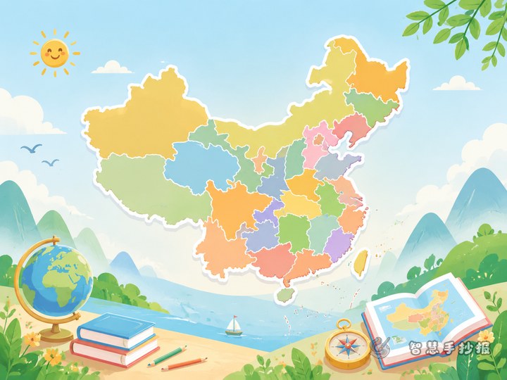
- Map-centered layout: place the outline of China in the middle, divide the space around it into four direction zones, write country names outside and link border provinces to the map with thin lines. Clear and suitable for older students.
- Left-right comparison: put “neighbor cards” on the left and “border province files” on the right, separated by a vertical border line. Simple enough for younger students.
Whichever you choose, reserve the top quarter for the title and one opening sentence so readers know the topic at a glance.
5. Titles, Column Names and Sentences You Can Reuse
Keep the title friendly and concrete, for example “Walking China's Border Line,” “From Northeast to Southwest: A Neighbor Map,” or “Province Files Along One Border.” Short column names work best:
- Neighbor Cards
- Border Files
- One Sentence per Province
- Direction Arrows
- Map Questions
An opening line could read: “China's land border is long. Walk along it and you meet different countries and provinces. This poster follows four stops — northeast, northwest, southwest and south — to look at China's border line.”
6. Small Details That Make It Look Finished
- Pencil first, color later: sketch the map outline and the zigzag line lightly, check that they do not cover text or run off the page, then trace them.
- Keep text away from edges: leave a little space around each card, especially where country names are long; blank space makes the page easier to read.
- Limit yourself to three main colors: one cool color for the map, one warm color for the title, and a light color for card backgrounds. A consistent palette makes the whole poster look tidy.
When the border line and short notes are ready, you can open the Smart Handwritten Poster WeChat mini program, choose a map-and-province layout, and place your finished sentences into the template before copying or printing it.