Choose a Clear Map-Based Theme
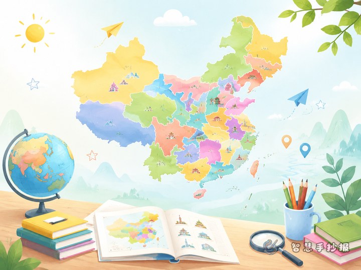
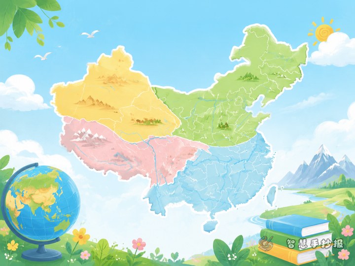
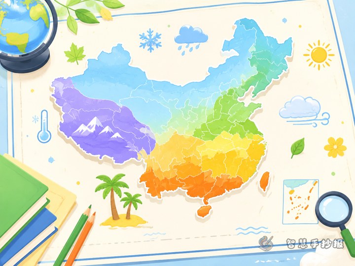
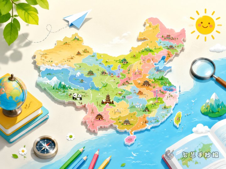
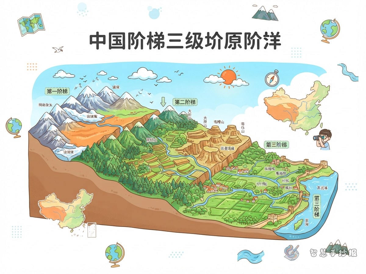
This poster can focus on China’s three major terrain tiers. Use a map-style illustration that becomes lower from west to east to show the country’s overall west-high, east-low terrain pattern. The goal is not to fill the page with every geographic term, but to help readers understand the change in elevation at a glance.
A title such as “Mountains and Rivers: China’s Three Terrain Tiers” works well. You may add the subtitle “From the Tibetan Plateau to the Eastern Plains.” This gives the poster a strong map theme while leaving room for mountains, rivers, landforms, and selected regional labels.
Draw the Map as Three Broad Steps
- First tier: Use dark brown or purple for the Tibetan Plateau in the southwest and label it “the highest tier.” The Tibetan Plateau and the Himalayas are useful key terms.
- Second tier: Use orange or light brown for the plateaus and basins farther east and north. You may include the Tarim Basin, Junggar Basin, Inner Mongolia Plateau, Loess Plateau, and Yunnan-Guizhou Plateau as examples.
- Third tier: Use green for the lower areas in the east, such as the Northeast Plain, North China Plain, middle and lower Yangtze Plain, and southeastern hills. Leave some space beside the eastern coastline for the sea.
Sketch the outline lightly in pencil before coloring. Separate the three tiers with bold or dashed lines. The map does not need to be perfectly scaled, but its west-to-east direction should be easy to recognize.
Use Mountains and Rivers as Visual Clues
Add a small “Terrain Clues” section beside the map. It can explain the effects of the terrain in short, child-friendly sentences:
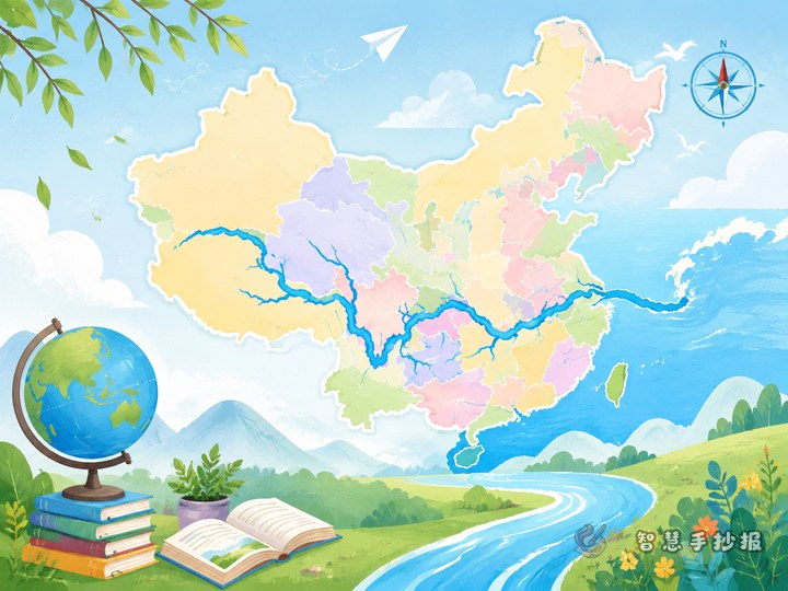
- Many major rivers begin in the highlands of western China and generally flow eastward.
- Plateaus, mountains, basins, plains, and hills together create varied landforms.
- The eastern part has more plains, where many cities, people, and farming activities are concentrated.
Draw the approximate paths of the Yangtze River and Yellow River with blue curves. Small triangles can represent important mountain ranges. To keep the map readable, choose only two rivers and three or four representative landforms instead of labeling everything.
Helpful Side Sections for the Poster
Landform Word Cards
Create small cards explaining five terms: plateau, basin, plain, hill, and mountain. Give each one a simple sentence, such as “Plain: a relatively flat area that is suitable for farming and building cities.”
Map Observation Questions
Add three questions at the bottom to make the poster interactive: In which direction does China’s terrain generally become lower? Where is the highest tier? In which general direction do the Yangtze and Yellow rivers flow? Short answers can be placed below the questions.
Color Legend
Draw three color blocks in a corner and label them “highlands,” “middle plateaus and basins,” and “eastern plains and hills.” A consistent legend helps readers understand the map quickly and makes the whole poster look more organized.
Four Simple Layout and Making Tips
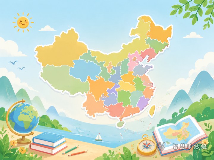
- Make the China map the visual center and place the title above it.
- Change from darker to lighter colors from west to east to show the step-like decrease in elevation.
- Place text boxes in open areas around the map so they do not cover rivers, coastlines, or important labels.
- Decorate the border with peaks, a compass, or river waves, but keep the decorations secondary to the map.
After finishing the pencil sketch, outline the map, add colors, write the text, and finally check whether the labels match the legend. If you want to organize the layout quickly and choose sections suitable for elementary students, continue creating the poster in the WeChat mini program “智慧手抄报.”