Why Geographic Extremes Suit a China Landscapes Poster
Two problems usually appear when children make a landscapes poster: the content drifts into a list of place names, and the sentences are too long for the boxes. The extremes angle solves both. Every entry is short, the comparisons are obvious, and each one suggests a simple drawing of a peak, a river, a lake or a dune.
Extremes also give the poster a spine. Writing about the highest peak naturally leads to the Tibetan Plateau; the longest river leads to the provinces along the Yangtze; the largest desert leads to the dry northwest. Entry by entry, the shape of the country starts to appear on the page.
Make a Short List First: Six to Eight Entries
Drawing up a list before writing saves a lot of rubbing out later. These entries are familiar, easy to check and simple to illustrate:
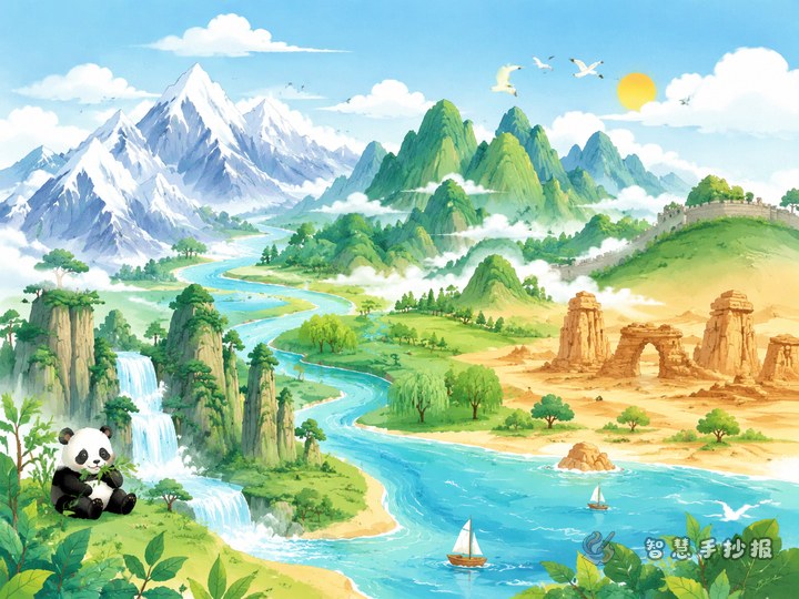
- Highest peak: Mount Qomolangma on the Tibetan Plateau, snow-covered all year.
- Longest river: the Yangtze, flowing west to east past many large cities.
- River with the most sediment: the Yellow River, whose silt builds the famous raised riverbed downstream.
- Largest freshwater lake: Poyang Lake in northern Jiangxi, an important wintering place for birds.
- Largest lake: Qinghai Lake on the plateau, with slightly salty water.
- Largest desert: the Taklamakan in Xinjiang, a sea of sand dunes.
- Largest island: Taiwan, mountainous and humid.
- Largest plain: the Northeast Plain, fertile and important for grain.
Vary the directions when choosing: one plateau, two rivers, two lakes, one desert and one island makes a far more balanced page.
One Sentence per Entry: Short, Accurate, Easy to Copy
Poster text should be readable at a glance. Use one pattern: what the extreme is + where it is + one feature. For example:
- Mount Qomolangma is the world's highest peak, standing more than eight thousand metres above sea level with snow at the summit all year.
- The Yangtze is China's longest river, running west to east into the East China Sea past many big cities.
- Qinghai Lake is China's largest lake, slightly salty, with wide grasslands along its shore.
Keep each entry to about twenty words and two lines. Leave only the key figure or two, and use words like largest or longest for the rest. If a fact cannot be confirmed, drop it rather than writing something vague.
Layouts That Stay Tidy: Bands, Cards and a Map
Decide the layout skeleton before thinking about borders and decorations. Three options work reliably.
Bands
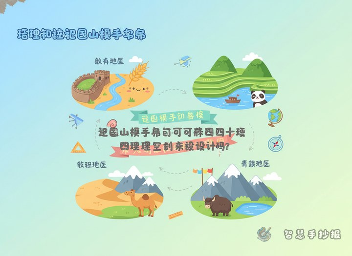
Divide the sheet into three or four horizontal bands and place two or three extremes in each. Put the name on the left and the explanation on the right, separated by a thin line or a small icon. This suits neat handwriting and reads like flipping through cards.
Cards
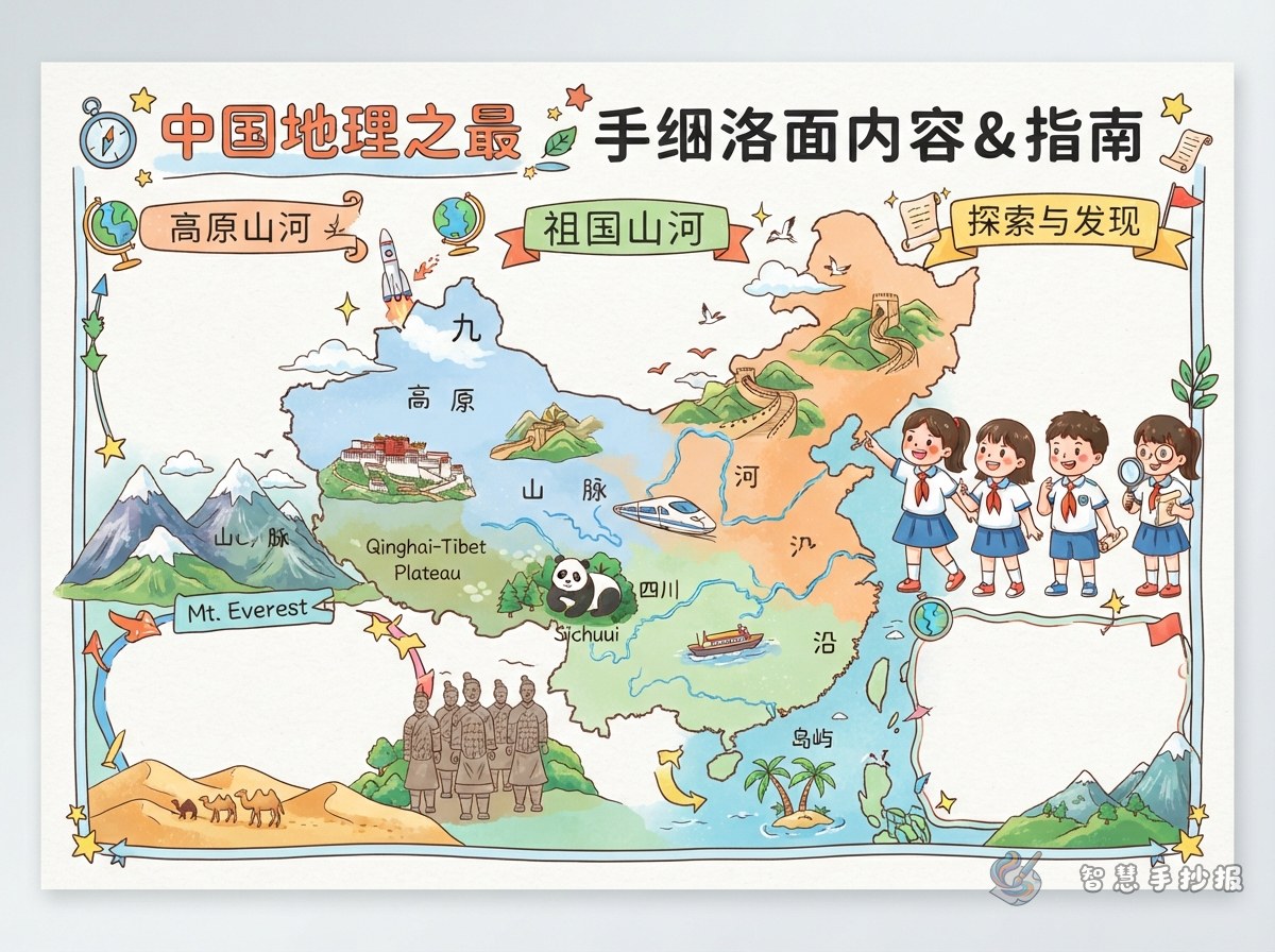
Cut the page into five or six small cards, one extreme per card, each with a little box for a drawing. Cards can differ in size, but keep the margins equal or the page will look messy.
Map with markers
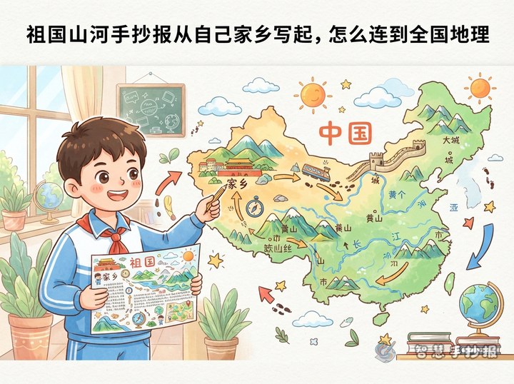
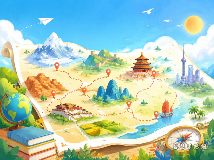
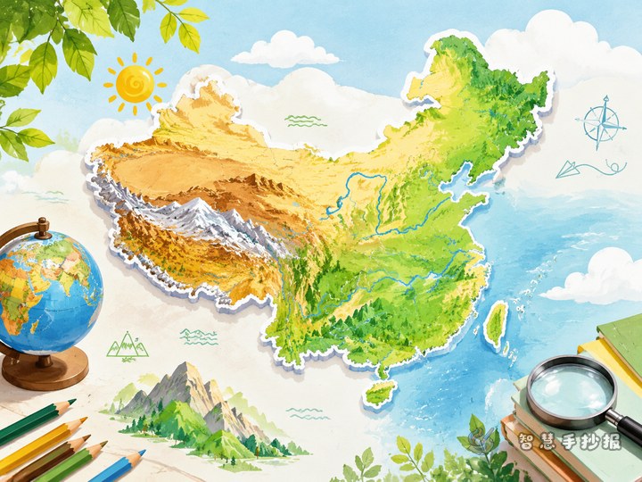
Sketch a very simple outline of China in pencil, then draw short lines from each extreme to roughly the right place, with the text around the edges. This looks the most geographical, but keep the outline simple rather than detailed.
Whichever option you choose, reserve a title area and leave a blank margin all round. White space makes the whole poster breathe.
Two Small Columns to Fill the Corners
One or two side columns give the poster a newspaper feel and help fill awkward gaps:
- Guess it: two or three short riddles, such as “I stand on the high plateau in the far west and I am the highest peak in the world”.
- Find it: a small map area where classmates circle the Yangtze, the Yellow River or Qinghai Lake.
- My hometown: three or four lines about a local river or hill, linking national geography to somewhere familiar.
Keep side columns to two at most and place them in the corners so they do not compete with the main content.
From Pencil Sketch to Colour, Step by Step
- Lightly pencil in the boxes for the title, the main entries and the side columns.
- Copy the longer sentences in first, then add the short ones so the text does not bunch up.
- Check for repeated entries and confirm every figure.
- Ink the outlines, then colour with three or four shades: pale brown for plateaus, blue for rivers, warm yellow for deserts.
If time is short or the page divisions feel difficult, open the Smart Handwritten Poster WeChat mini program, choose a China landscapes layout, and fill in these extremes. A ready framework helps children finish the poster and feel proud of the result.