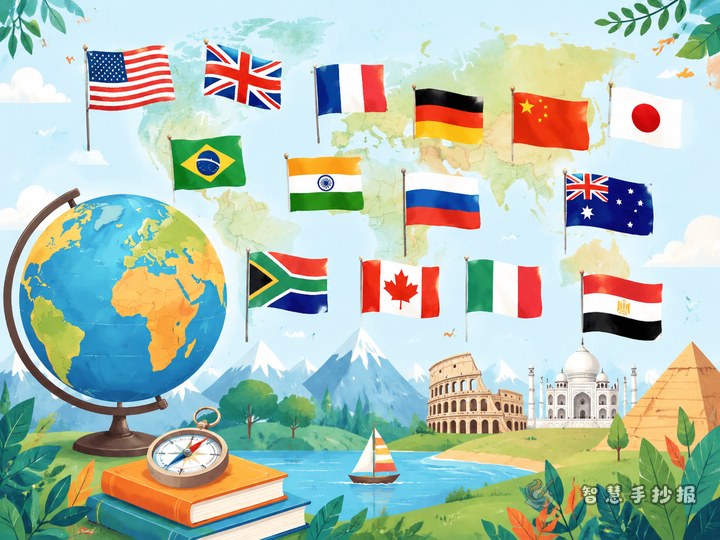
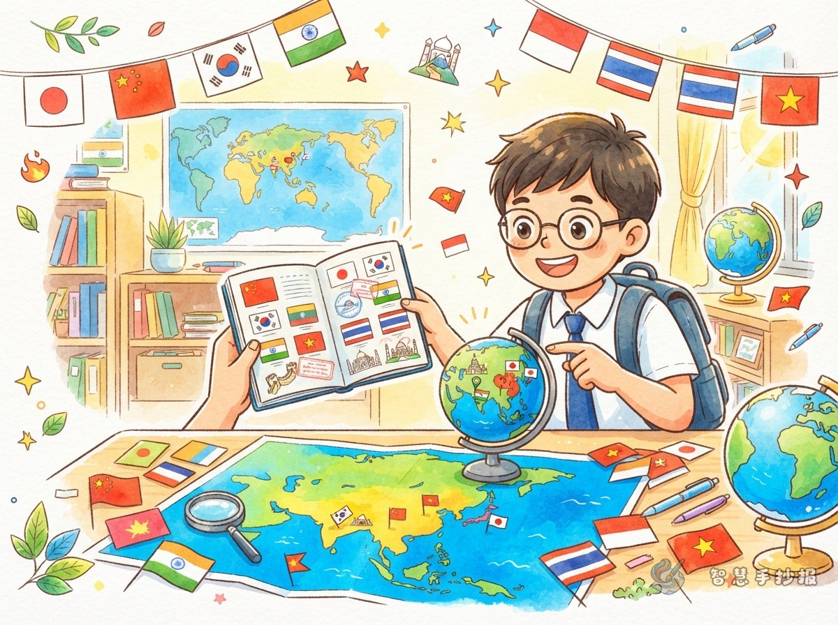
Turn the Poster into an Asian Travel Passport
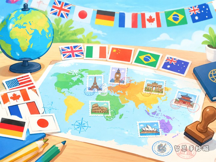
Instead of covering too many countries, choose six: Japan, South Korea, India, Thailand, Saudi Arabia, and Nepal. Arrange them along a travel route from East Asia to South Asia, Southeast Asia, and West Asia. Draw a curved route through the center, mark each country with a dot, and turn its flag, capital, and one geography clue into a small “passport sticker.” This connects flag knowledge with location and direction.
The main title can be “Travel Across Asia with Flags”, with the subtitle “Learn the colors and discover the countries.” This makes the flag theme clear while leaving room for capitals, regions, and natural features.
Six Flag Stickers and Their Text
East Asia: Japan and South Korea
- Japan: The flag has a red circle on a white background. The capital is Tokyo. Add the clue “an island country with many mountains.”
- South Korea: The flag has a taegeuk symbol in the center and black trigrams around it. The capital is Seoul. Add the clue “in the southern part of the Korean Peninsula in East Asia.”
South and Southeast Asia: India, Nepal, and Thailand
- India: The flag has saffron, white, and green bands with a blue wheel in the center. The capital is New Delhi. Add the clue “a large country beside the Indian Ocean with varied landscapes and climates.”
- Nepal: Its flag is made of two connected triangular shapes. The capital is Kathmandu. Add the clue “located on the southern side of the Himalayas.”
- Thailand: Its flag has horizontal red, white, and blue stripes. The capital is Bangkok. Add the clue “a country in mainland Southeast Asia with a southern coastline.”
West Asia: Saudi Arabia
- Saudi Arabia: Its flag is mainly green and includes white writing and a sword. The capital is Riyadh. Add the clue “a large country on the Arabian Peninsula in southwestern Asia.”
If space is limited, keep four countries and arrange them from East Asia to South Asia, Southeast Asia, and West Asia. Make sure every flag has clear colors and a recognizable shape.
Design It Like an Open Travel Passport
- Top: Place the title on a curved banner and add a small airplane, compass, or passport stamp.
- Center: Draw a simplified outline of Asia in light blue or green. Fine map details are not necessary; the general direction is enough.
- Both sides: Add six similarly sized flag cards. Under each card, write the country, capital, and one geography keyword.
- Bottom: Create a section called “My Asian Discoveries” and write three observations, such as “Asian flags use many different color combinations,” “Nepal’s flag is not rectangular,” and “Asian countries have varied natural environments.”
To make the page look like a passport, use stamp, ticket, or luggage-tag shapes for the country cards. Keep the map light so the flags and text remain the visual focus.
Use Color and Symbols to Make It Lively
Blue, green, yellow, and orange work well as supporting colors, suggesting oceans, nature, sunlight, and travel. Try to use colors close to the real flags rather than changing them just to match the page. A dark blue outline can make the title stand out, while different card borders can separate the regions.
Good decorations include a globe, suitcase, postage stamp, mountain, wave, and direction arrow. Keep them small so they do not cover country names. Detailed symbols such as the Korean trigrams, India’s wheel, and the writing on the Saudi Arabian flag can be sketched lightly in pencil first. Younger students may simplify difficult details while preserving the overall flag features.
A Quick Checklist Before You Finish
- Sketch the title, route, and card positions in pencil before coloring.
- Check that every country name matches the correct flag and capital.
- Keep the flag cards similar in size.
- Use light map lines and leave enough white space around the text.
- Add a border, page number, or “Asian Travel Passport” stamp for a finished look.
For help arranging sections, colors, and borders, you can open the 智慧手抄报 WeChat Mini Program for layout inspiration, then adjust the design to match your own drawing style and create a personal Asian flags geography poster.