Turn the Page into a Trip Around the World
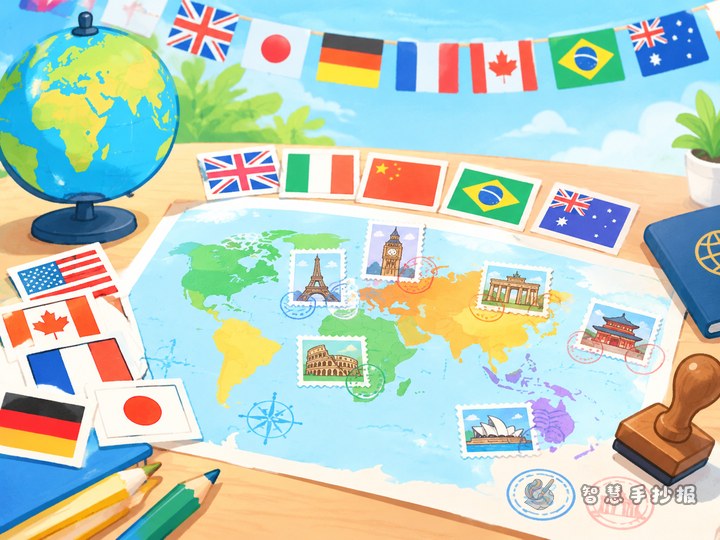
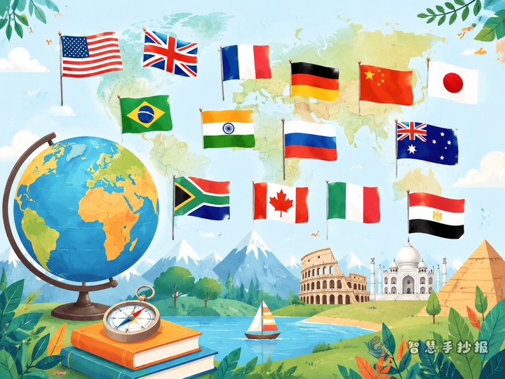
Give the project a memorable name such as Passport to the World: A Five-Continent Flag Trip. The main idea is to connect flag recognition with finding each country on a map. Begin with one or two sentences explaining that a flag is an important national symbol, while a map helps us understand where a country is located and what its region is like.
You may use five coordinating colors for the continent sections, but there is no need to follow a fixed color code. A consistent visual style matters more than assigning a special meaning to every color.
Choose a Small Set of Countries
Pick two or three countries from each continent. A total of about 10 to 12 countries gives the poster enough information without making the drawings too small.
- Asia: China, Japan, and India can introduce East Asia, South Asia, and several distinctive flag designs.
- Europe: France, Italy, and Norway are useful for comparing tricolor patterns and cross designs.
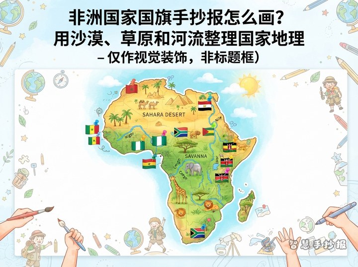
- Africa: Egypt, Kenya, and Morocco can be paired with words such as desert, grassland, or North Africa.
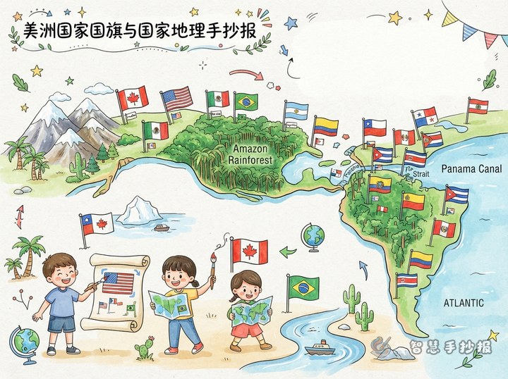
- The Americas: Canada, Brazil, and the United States show examples from both North and South America.
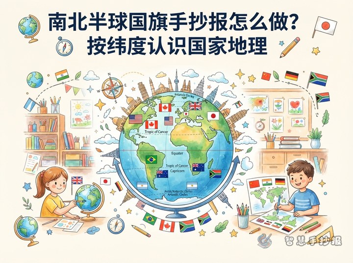
- Oceania: Australia and New Zealand connect naturally with islands, oceans, and the Southern Hemisphere.
Choose countries whose flags are recognizable, whose map locations are easy to find, and whose geography facts are suitable for children. More countries do not automatically make a better poster.
Give Every Flag a Geography Card
Make a small card of the same size for each country. Keep only four facts on each card: the country, its capital, its continent, and one geography keyword. For example, a Japan card can say “Japan — Tokyo — Asia — island country,” while an India card can say “India — New Delhi — Asia — South Asia.”
- Flag details: Draw the most noticeable colors, stars, circles, crosses, or other shapes. Lightly divide the sections with a pencil before adding colored outlines.
- Map marker: Use a dot or a short arrow to show the country’s approximate location on the central map. Detailed borders are unnecessary.
- Friendly geography words: Try island country, desert, grassland, tropical rainforest, plateau, or ocean.
Keep each card to three or four lines. Too much writing can make the flag illustrations lose their visual impact.
Build the Layout Around a World Map
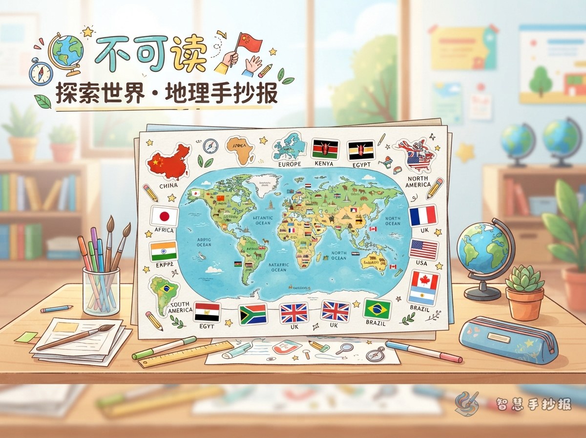
Use a central-map layout: place the main title at the top, draw a simplified world map in the middle, and arrange five continent sections around it. Put the matching flag cards in each section and connect them to the nearby map area with thin lines to create the feeling of a travel route.
The map does not need professional accuracy. Clear outlines and approximately correct continent positions are enough. Leave breathing room between cards, keep flags from overlapping, and vary the size of the title, map, and cards so readers can follow the page in a natural order.
Finish Neatly from Sketch to Color
- Choose a portrait or landscape orientation, then lightly mark the title, map, and five section areas.
- Draw the title and world map first, and arrange the flag cards afterward, working from large shapes to small details.
- Use a ruler for card borders so that cards in the same group are similar in size.
- Color the large areas first, add stars, circles, and lines next, and use a dark outline at the end.
- Check country names, capitals, and flag patterns. Erase extra pencil marks and add a short travel message in an open space.
To save planning time, you can organize the sections and page arrangement in the 智慧手抄报 WeChat Mini Program, then adapt the plan to your own paper size and drawing style.