Turn ancient travel into a map
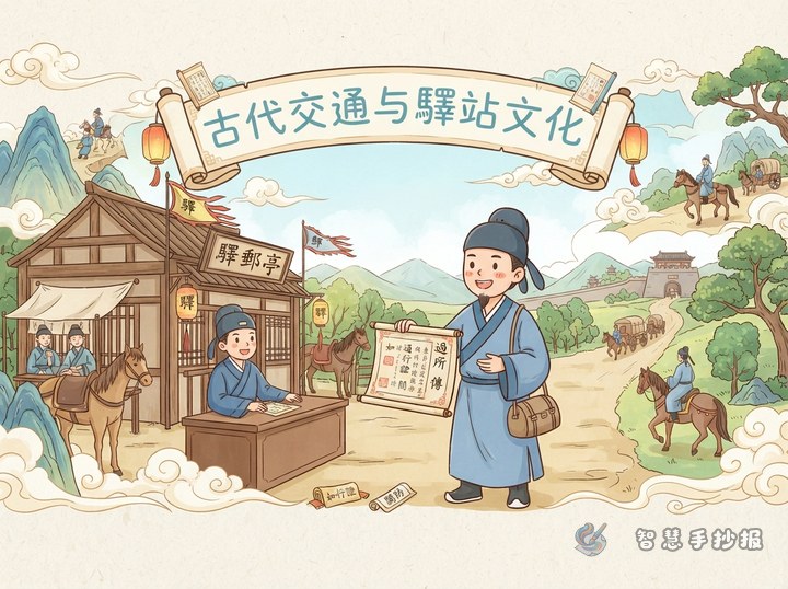
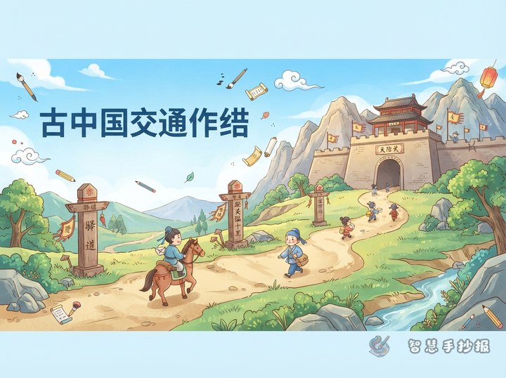
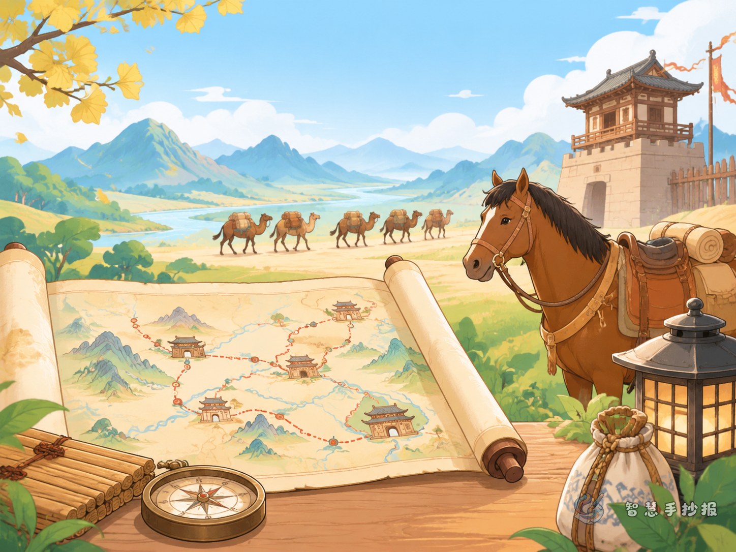
Build the poster around a travel map showing how people crossed mountains, followed rivers, and reached towns. Connect roads, bridges, ferries, and city gates with a clear route. A title such as “How Did People Travel Across Ancient China?” gives the page a focused question and makes the map its central image.
Show how travelers moved
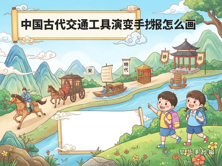
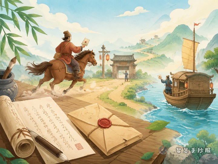
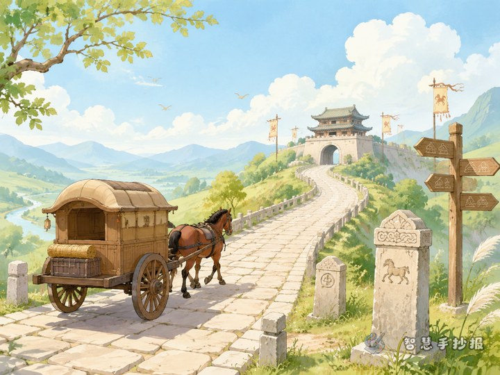
Add a “Along the Way” section with short notes about walking, riding in a cart, traveling by boat, and riding a horse. Explain that land routes crossed plains and mountain paths, while waterways connected places along rivers. The terrain, distance, and purpose of a journey all influenced the choice.
- Mountain paths: Use winding lines and slopes to show changing terrain.
- Rivers: Mark bridges and ferry crossings, with a small boat nearby.
- Towns: Treat them as stops along the route and add a gate, market, or inn.
Make room for quick fact cards
Place a “Then and Now” comparison or a small transport glossary beside the map. Keep each card focused: ancient roads linked towns, bridges helped travelers cross rivers, and ferries carried people between riverbanks. A closing line can sum up the theme: “Routes connected people, goods, and messages across different places.”
Let the layout follow the journey
Guide the eye along a route from the lower left to the upper right. Put the title and map near the starting point, transport notes in the middle, and a concluding sentence at the destination. Use green, pale blue, and ochre for land, water, and roads. Road-sign-shaped subheadings add character, while open space keeps the page easy to read.
Sketch first, then add details
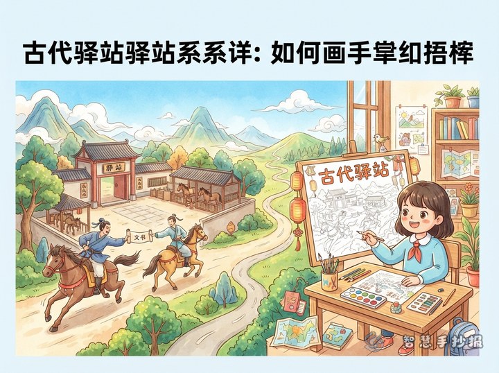
Plan the route, sections, and writing space lightly in pencil before adding final text and color. Small illustrations of a traveler with a pack, a riverside boat, or people crossing a bridge can add movement without covering the writing. To continue organizing the title, sections, and layout, use the “Smart Handwritten Newspaper” WeChat Mini Program.