Set a “From High to Low” Reading Route
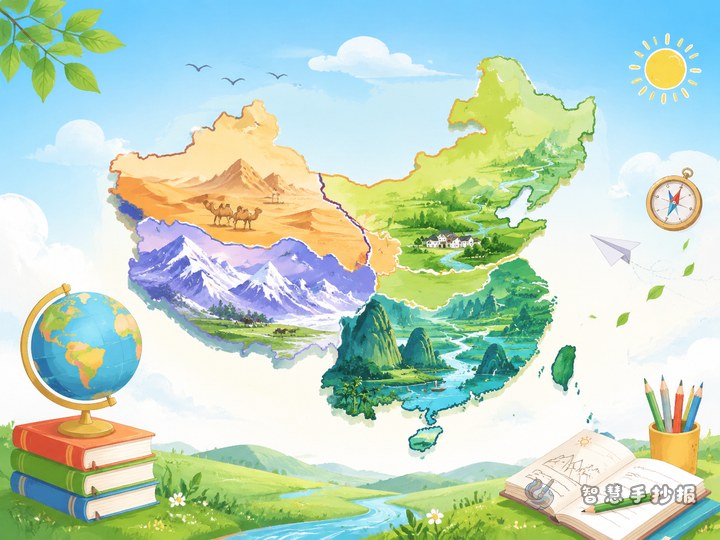
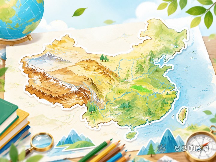
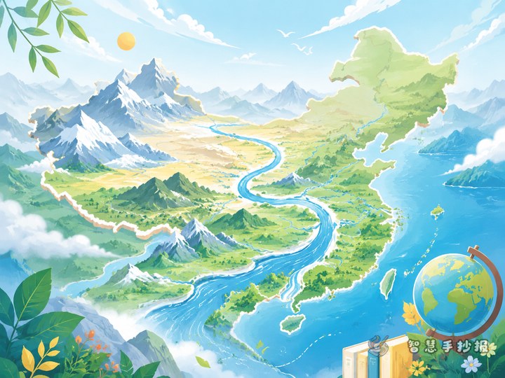
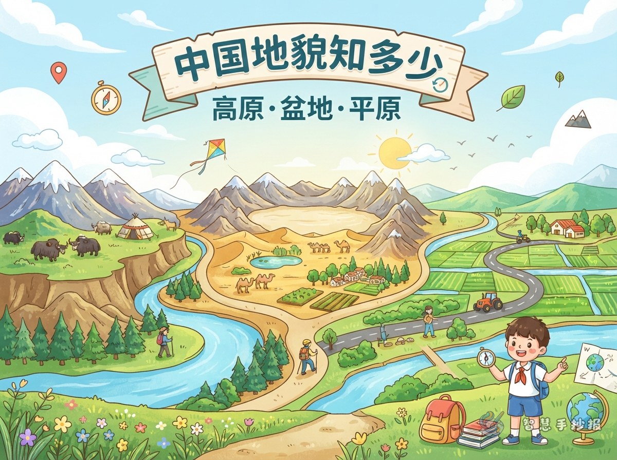
A China plateaus, basins, and plains handwritten newspaper often looks crowded when too many names are scattered around the page. Set a reading route first: start from the western plateaus, pass through the central basins, reach the eastern plains, and then return to the map of China to find each location. This order naturally shows the idea that China is high in the west and low in the east. A good title could be “Crossing China’s Three Steps of Terrain” or “From Plateau to Plain.”
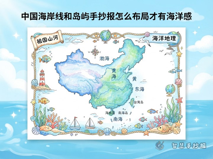
In the WeChat mini program, you can choose a simple China outline as the base and place the columns along the edge, so the text does not pile up in the center.
Four Main Columns: Overview, Plateaus, Basins, and Plains
A clear layout can use four blocks: put “China’s Landform Overview” on the left or top, divide the main area into “Four Plateaus,” “Four Basins,” and “Three Plains,” and save the lower right corner for “Map Notes.” If the paper is small, merge the map and overview into one column.
Four Plateaus
- Qinghai-Tibet Plateau: the roof of the world, with many snow mountains and lakes.
- Inner Mongolia Plateau: open land and wide grasslands, good for gentle wavy lines.
- Loess Plateau: deep loess and clear gullies; you can draw simple hills and valleys.
- Yunnan-Guizhou Plateau: karst landforms, stone forests, caves, and terraces are great drawing ideas.
Four Basins
- Tarim Basin: large, with the Taklamakan Desert in the middle and oases along the edge.
- Junggar Basin: located in the north, roughly triangular, with pastures and gobi scenery.
- Qaidam Basin: high altitude, salt lakes and gobi, often called a treasure basin.
- Sichuan Basin: purple soil, hills, and the Chengdu Plain; bamboo, farmland, and mist work well.
Three Plains
- Northeast Plain: wide black soil, good for farm machines and wheat fields.
- North China Plain: flat land and dense cities, good for railways and city silhouettes.
- Middle and Lower Yangtze Plain: many rivers and lakes; rice, bridges, and water towns are common elements.
How Much Text Should Each Column Hold?
A handwritten newspaper is not a geography textbook. For each landform, use “name + location + one feature + one small drawing.” For example, “Qinghai-Tibet Plateau: in southwest China, snowy mountains, source of many great rivers.” Keep each sentence to about twenty to thirty words, and four to six lines will fill a small box.
If your teacher asks for more geography knowledge, add a “My Discovery” box at the bottom. Write one sentence comparing plateau and plain altitude, or write “China is high in the west and low in the east, forming three steps.”
Colors and Small Drawings That Match the Landforms
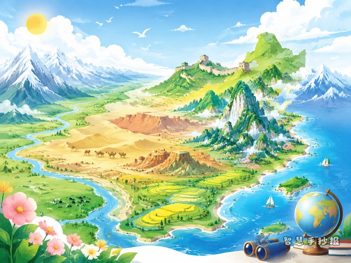
You can choose colors by terrain change: plateaus in earth yellow, brown-red, and snow white; basins in light yellow, sand, and pale green; plains in grass green, lake blue, and wheat yellow. Even without reading the words, viewers can feel the change from west to east.
- Plateau area: snow mountains, yaks, grasslands, prayer flags.
- Basin area: deserts, oases, salt lakes, bamboo.
- Plain area: rice fields, rivers, high-speed trains, city outlines.
Keep drawings small, one or two per box. In the map notes area, use colored dots to mark the rough locations of the plateaus, basins, and plains.
Making Order: Map First, Columns Second, Title Last
- Draw the China outline and page sections lightly in pencil.
- Decide where the title goes. A good title is “China’s Terrain Trio: Plateaus, Basins, and Plains.”
- Write the landform names first, then add short feature sentences.
- Add color and drawings, then use black outlines and dashed lines to separate columns.
- Check for spelling mistakes, especially names like Junggar, Qaidam, and Middle and Lower Yangtze.
If you want a neater layout, you can choose a geography theme in the WeChat mini program, place your finished sentences and columns into it, and then print it or copy it by hand.