Turn the Map into a Paper Journey
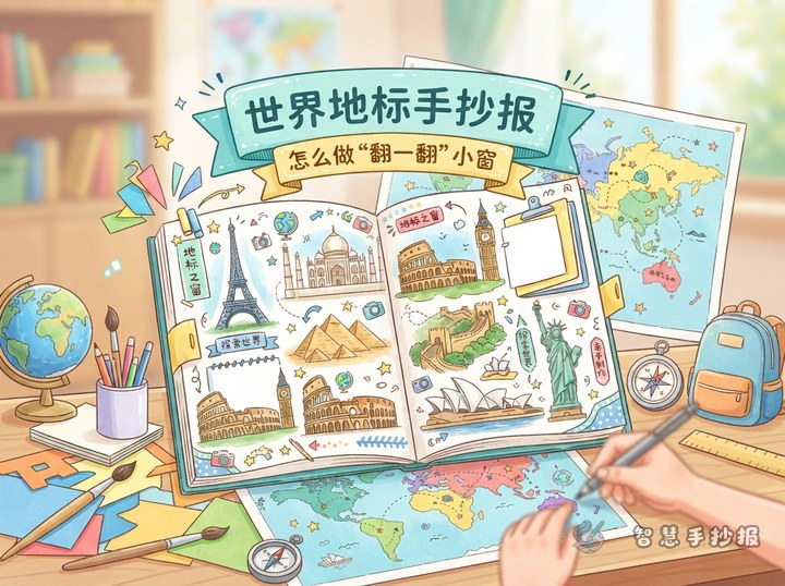
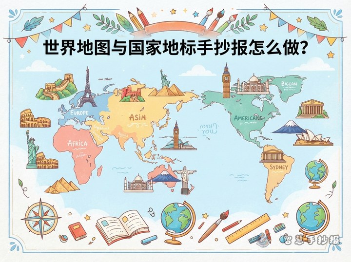
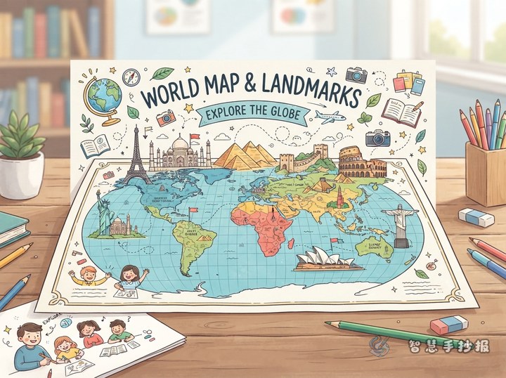
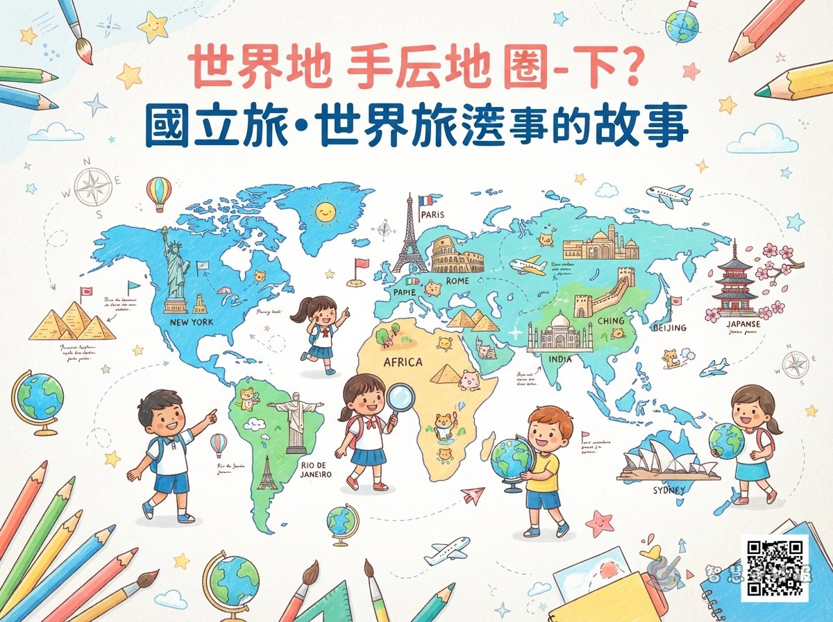
A world map handwritten poster becomes more engaging when it tells the story of a journey. Place a simplified world map at the visual center, then connect famous landmarks with curved travel routes. Possible titles include A World at a Glance, Travel Around the World, or My Landmark Journey.
- Main picture: Draw a simple world map with clear continents and directions.
- Travel route: Begin in Asia and connect Europe, Africa, the Americas, and Oceania with a dotted line.
- Decorations: Add a compass, airplane, suitcase, passport stamps, and small clouds to create a travel theme.
Build the Layout Around the World Map
Landscape paper works well for this topic. Put the map in the center or slightly to the left, leaving space on the right and bottom for landmark cards. The map does not need every border to be exact. Light blue oceans, pale green land, and colored dots can make the information easy to follow.
Three Layout Ideas for Children
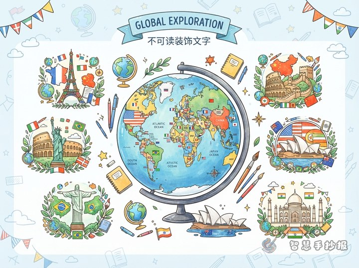
- Center-and-spoke layout: Place the map in the middle and arrange six landmark cards around it.
- Travel-route layout: Use one curved line to link landmarks from one continent to the next.
- Passport-page layout: Put the map on one side and design the other side like a travel passport with country names and impressions.
Make Each Landmark a Small Visual Card
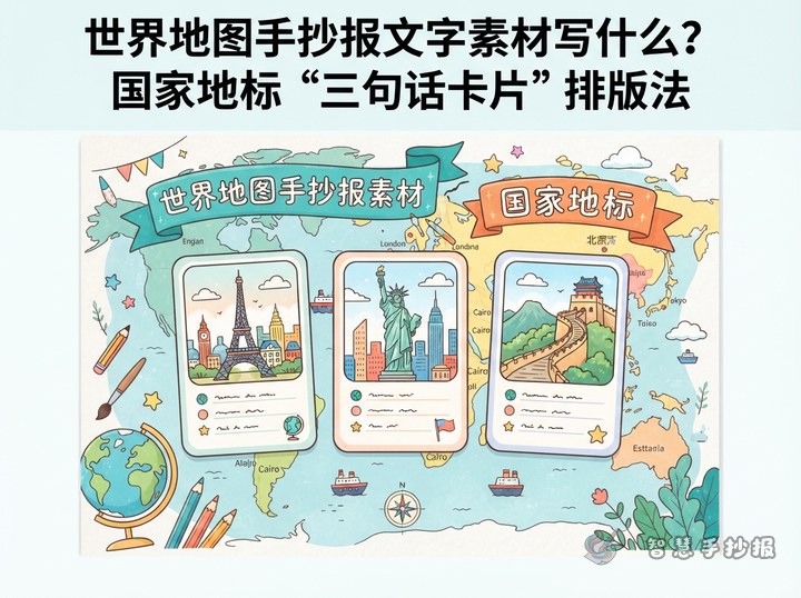
Each card only needs the country, landmark name, and one simple feature. Two or three lines are enough. Sketch the outline in pencil, trace it with a darker line, and connect it to the approximate location on the map.
- Asia: Draw the Great Wall of China as a winding line across hills, or choose the Taj Mahal to show balanced architecture.
- Europe: The Eiffel Tower can be shown with a clean triangular outline and the label France.
- Africa: Use triangles and warm sand colors to make the Egyptian pyramids easy to recognize.
- North America: Emphasize the torch and crown of the Statue of Liberty in the United States.
- South America: Draw Christ the Redeemer in Brazil with open arms as a strong mountain silhouette.
- Oceania: A few shell-like roof shapes can suggest the Sydney Opera House in Australia.
- Antarctica: Since it is not a country, use icebergs, penguins, and a research station as a snowy finishing point.
Write Like a Travel Journal
A short travel note is easier to read than a long encyclopedia-style paragraph. For example: I started in Asia and saw the Great Wall winding through the hills. In Europe, the Eiffel Tower looked like a pencil pointing into the sky. In Africa, the pyramids helped me imagine the history of ancient civilizations.
Short Text for Extra Sections
- World tip: Every country has its own buildings, languages, and customs, so landmarks should be introduced with respect for local culture.
- My travel wish: I would like to visit an unfamiliar country and see more of the world beyond my textbooks.
- Travel kindly: Do not scratch, litter, or damage landmarks. Be a polite visitor wherever you go.
Use Color to Separate Regions
Choose two or three main colors. Light blue can represent oceans, while cream or pale green can represent land. Add orange, red, or purple to the landmark cards. Use a dark blue for the title and black or dark gray for the body text. Before finishing, check the country names, crowded connecting lines, and readability of every section.
- Mark the title, map, and cards lightly in pencil.
- Sketch the simplified map and landmark outlines.
- Add country names, landmark features, and travel notes.
- Apply consistent outlines and colors, then erase extra pencil marks.
- Fill empty corners with a compass, stamp, or cloud without covering the main information.
After choosing the theme, you can continue in the WeChat mini program to arrange the map, landmark cards, and decorations, then adjust the details to match your own drawing style.