Begin with a Map Adventure Route
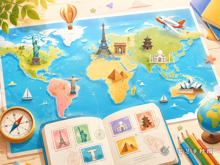
Instead of listing countries one by one, design the handout as an adventure route that begins in East Asia, passes through Europe and Africa, and continues to the Americas and Oceania. Place landmarks along the route so readers feel as if they are traveling across the map. A suitable theme is “Seeing the World Along the Lines of Latitude and Longitude,” with a central message such as “Maps connect countries, while landmarks tell cultural stories.”
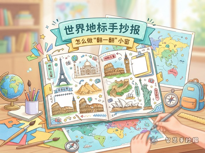
Choose about five landmarks with recognizable shapes, such as the Great Wall of China, the Eiffel Tower, the Pyramids of Egypt, the Statue of Liberty, and the Sydney Opera House. Too many landmarks may make the map and text look crowded.
Build an Organized Layout with Latitude and Longitude Lines
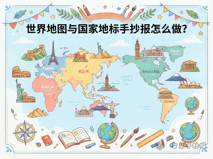
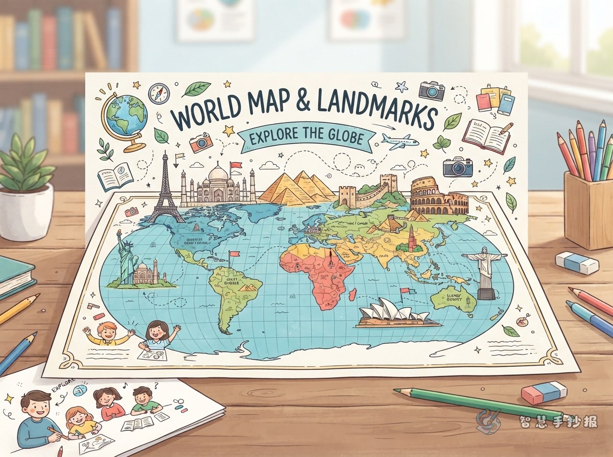
Draw a simplified world map in the center of the paper, then add a few curved horizontal and vertical lines to suggest latitude and longitude. The map does not need to be geographically exact. Focus on the outlines of the continents and the approximate locations of the landmarks. Draw the landmarks as dark silhouettes and mark their locations with colorful dots.
- Top: Place the title, with a compass, airplane route, or small globe decoration.
- Middle: Use the world map and landmark silhouettes as the visual focus.
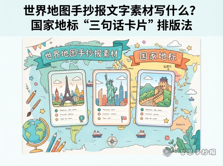
- Around the map: Add country cards with the country name, landmark name, and one short fact.
- Bottom: Create a “My World Discoveries” section for personal reflections.
What to Write on Each Country Card
To keep the content clear and suitable for elementary students, use a three-line format: country name, landmark feature, and a cultural connection. For example, the Great Wall of China can be described as a structure stretching across mountain ranges and reflecting the work and wisdom of ancient people. The Eiffel Tower can be introduced as a distinctive iron structure and a symbol of Paris. The Pyramids of Egypt can represent ancient exploration of architecture and mathematics.
The Statue of Liberty can be connected with the ideas of freedom and friendship, while the Sydney Opera House can be described through its shell-like or sail-like roof design. Keep the writing short, accurate, and easy to understand. There is no need to fill the page with complicated dates. A small “Where I Want to Go” section can invite children to name a country they would like to learn about.
How to Draw and Color the Landmark Silhouettes
Draw the outline first, then add recognizable details
Landmark silhouettes work well in black, navy blue, or dark brown. Add small accents in yellow, red, or green. Emphasize the rising wall line of the Great Wall, the triangular structure of the Eiffel Tower, the geometric shape of the pyramids, the torch and raised arm of the Statue of Liberty, and the layered white roofs of the Sydney Opera House.
Use color to guide the reader
Connect the landmarks with an orange dashed line and number each stop. Use light blue for the oceans and soft yellow, green, or orange for the continents. Limit the handout to three to five main colors so that it stays bright without becoming messy.
A Final Making Checklist
- Lightly plan the title, map, and country cards in pencil before outlining or coloring.
- Check that each landmark is placed near the approximate location of its country.
- Keep each text section to two or three lines and leave space for margins and decorations.
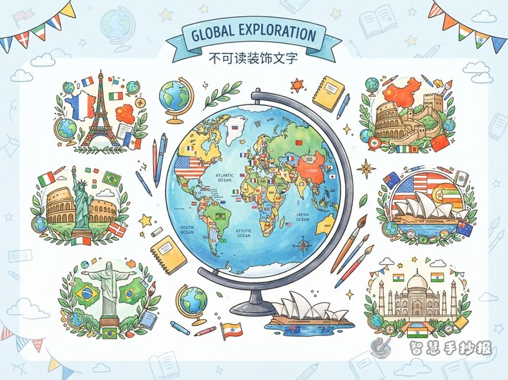
- Add a compass, latitude and longitude lines, a globe, or small flags at the end to complete the design.
If you need help arranging the title, sections, and page layout, you can continue creating in the 智慧手抄报 WeChat Mini Program and adjust the number of landmarks and the text length to fit your paper.