
Build the Poster Around One Shared Moment
Instead of explaining every time zone, choose one reference moment, such as noon in Beijing. Then show whether London, Cairo, New York, and Sydney are experiencing morning, daytime, evening, or night. Add a small clock near the title and use sun, sunset, and moon symbols to connect time with place.
Choose Landmarks That Are Easy to Recognize
Four to six landmarks are enough for a clear poster. Select places from different parts of the world and give each one a short “At This Moment” note with its city, landmark, and approximate daylight period.
- Beijing: The Forbidden City or Temple of Heaven with the note “Bright sunlight at noon.”
- London: Big Ben with the note “Morning is beginning.”
- Cairo: The pyramids with the note “The city is in its morning hours.”
- New York: The Statue of Liberty with the note “Night has not completely ended.”
- Sydney: The Sydney Opera House with the note “Afternoon is moving toward evening.”
Exact clock times may change because of seasons and daylight saving time. For a school poster, focus on the main idea of time differences and the day-night cycle rather than complicated calculations.
Ready-to-Use Text for the Poster
Earth keeps rotating, so sunlight reaches different places at different times. While Beijing is bright at noon, some cities are waking up and others still have lights glowing at night. Time zones help people plan travel, communication, and international activities. By placing famous landmarks on a time zone map, we can learn where countries are and see how one moment looks different around the world.
Turn the Page Into a Day-to-Night Strip
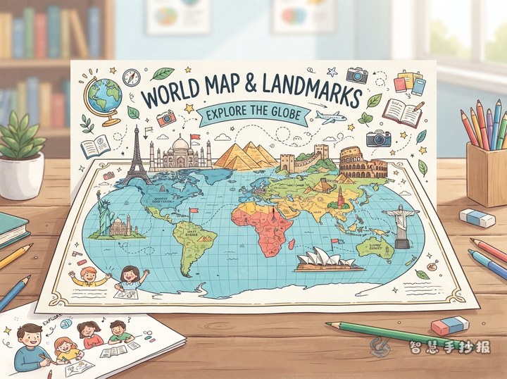
- Use the paper horizontally and draw a simplified world map in the center.
- Create dark blue, light blue, yellow, and orange areas for night, morning, daytime, and evening.
- Place small landmark drawings around the map and connect them to the correct regions with thin lines.
- Reserve space along the bottom for “What I Learned About Time Differences” and “My World Clock.”
The colors do not need to match national flags. Clear differences between daylight periods are more important. Outline landmarks in black, keep clocks the same size, and use yellow and deep blue in the title to suggest day and night.
Check the Details Before Finishing
Make sure each landmark is near the correct country, the information boxes do not cover the map, and the clocks and writing are evenly spaced. Younger students can use fewer cities and shorter sentences, while older students can add a section explaining why time differences exist. After selecting the material, students and parents can continue arranging the sections in the Smart Hand-Copied Poster WeChat Mini Program.